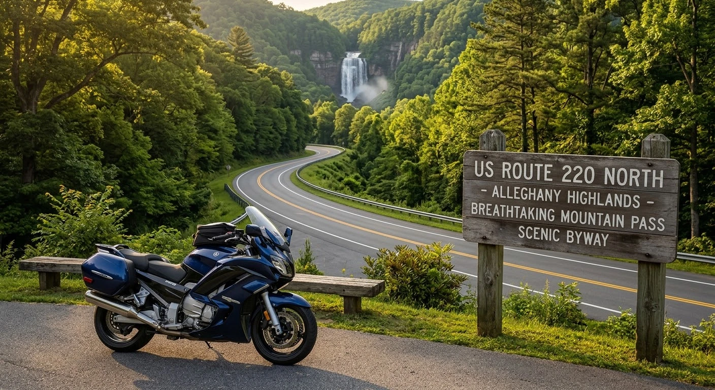
Winding alongside Jackson River and cutting through deep mountain gaps, US Route 220 delivers one of Western Virginia’s premier touring experiences. Running north-south through the heart of Bath and Alleghany counties, this scenic corridor offers sweeping elevation changes, pristine road surfaces, and minimal commercial traffic compared to heavily traveled highways like Interstate 81. Planning your trip for riding Route 220 through the Alleghany Highlands combines technical mountain curves with unforgettable stops at regional landmarks, including the cascading waters of Falling Spring Falls and the historic mineral spas of Hot Springs.
Quick Inspection Checklist
| Route Parameter / Waypoint | Regional Location Target | Operational Standard / Condition |
|---|---|---|
| Focus Keyword | Riding Route 220 Through the Alleghany Highlands | Used in Title, Intro, H2 Headers, & Meta |
| Route Distance & Pavement | ~55-mile primary Virginia stretch | Smooth two-lane asphalt; moderate twisty sweepers |
| Key Scenic Landmark | Falling Spring Falls (Bath County) | 80-foot natural waterfall overlook off Route 220 |
| Anchor Mountain Towns | Covington to Monterey via Hot Springs | Fuel stops available every 20-25 miles; rural gaps |
| Riding Risk Factor | Thermal mountain shadows & deer | Reduced pavement traction in shaded gaps; wildlife at dusk |
Navigating US Route 220 through the Alleghany Highlands takes riders across distinct elevation changes, connecting historic valley towns to steep mountain passes.
   [ COVINGTON, VA (I-64 INTERCHANGE) ]
                    │
                    ▼
┌──────────────────────────────────────────────┐
│ Jackson River Valley Sweepers (Route 220)    │ ◄── Smooth Two-Lane Asphalt
└───────────────────────┬──────────────────────┘
                        │
                        ▼
┌──────────────────────────────────────────────┐
│ Falling Spring Falls Overlook Stop          │ ◄── Scenic Photo & Break Zone
└───────────────────────┬──────────────────────┘
                        │
                        ▼
┌──────────────────────────────────────────────┐
│ Hot Springs & Warm Springs Mountain Curves   │ ◄── Technical Elevation Elevation
└───────────────────────┬──────────────────────┘
                        │
                        ▼
   [ MONTEREY, VA (HIGHLAND COUNTY LINE) ]
Maintaining proper lane position along Jackson River gaps protects riders against loose gravel accumulated on inside turns.
1. Key Route Sections & Scenic Waypoints
Route 220 offers a diverse blend of fast sweepers and technical mountain turns:
- Covington to Falling Spring Falls: Leaving Covington northbound, Route 220 follows the Jackson River corridor. After roughly 5 miles, stop at the Falling Spring Falls overlook—a stunning 80-foot natural waterfall visible directly from the highway.
- The Warm Springs Valley Corridor: Continuing north through Bath County, Route 220 winds into Hot Springs and Warm Springs, home to historic mineral baths and scenic mountain vistas framed by George Washington National Forest.
- The Mountain Climb to Highland County: North of Warm Springs, the highway tightens into rolling mountain curves as you cross into Highland County toward Monterey, offering high-elevation views and pristine tarmac.
2. Tactical Mountain Cornering & Pavement Management
Riding through the Alleghany Highlands requires active cornering adjustments:
- Manage Shaded Turn Temperature: Dense forest canopy lines much of Route 220. Cold morning air lingers in shaded mountain hollows, keeping pavement temperatures significantly lower than sunny sections.
- Watch for River-Gap Gravel: Agricultural and gravel driveways frequently wash small pebbles onto the asphalt after heavy rainfall, especially in low-lying Jackson River gaps.
- Execute Outside-Inside-Outside Lines: Maintain a wide entry line into blind curves to maximize your visual lead down the highway before apexing smoothly.
3. Fuel Planning & Local Stop Etiquette
While Route 220 is well-paved, services can be sparse across long rural gaps:
- Top Off in Hub Towns: Fill your fuel tank in Covington or Hot Springs. Cell service can drop in isolated valley pockets, so download offline GPS maps beforehand.
- Respect Local Speed Transitions: Route 220 drops rapidly from 55 mph highway limits to 25–35 mph town zones when passing through historic communities like Warm Springs. Watch for local speed enforcement.
Taking time for riding Route 220 through the Alleghany Highlands delivers an exceptional blend of natural beauty, smooth asphalt, and rich Virginia history. By planning your fuel stops, managing shaded mountain corners, and respecting local speed limits, you can experience one of the finest motorcycle routes in the Commonwealth.
Legal Disclaimer: This article is intended for educational and travel planning purposes only. Road conditions, construction zones, and weather patterns along US Route 220 are subject to change. Always verify local VDOT road reports before departing.
Official & Credible Sources
- Virginia Department of Transportation (VDOT) 511 Road Conditions: https://www.511virginia.org
- Virginia Tourism Corporation (Virginia Is For Lovers): https://www.virginia.org
- Bath County Virginia Tourism: https://www.discoverbath.com
Leave a Reply