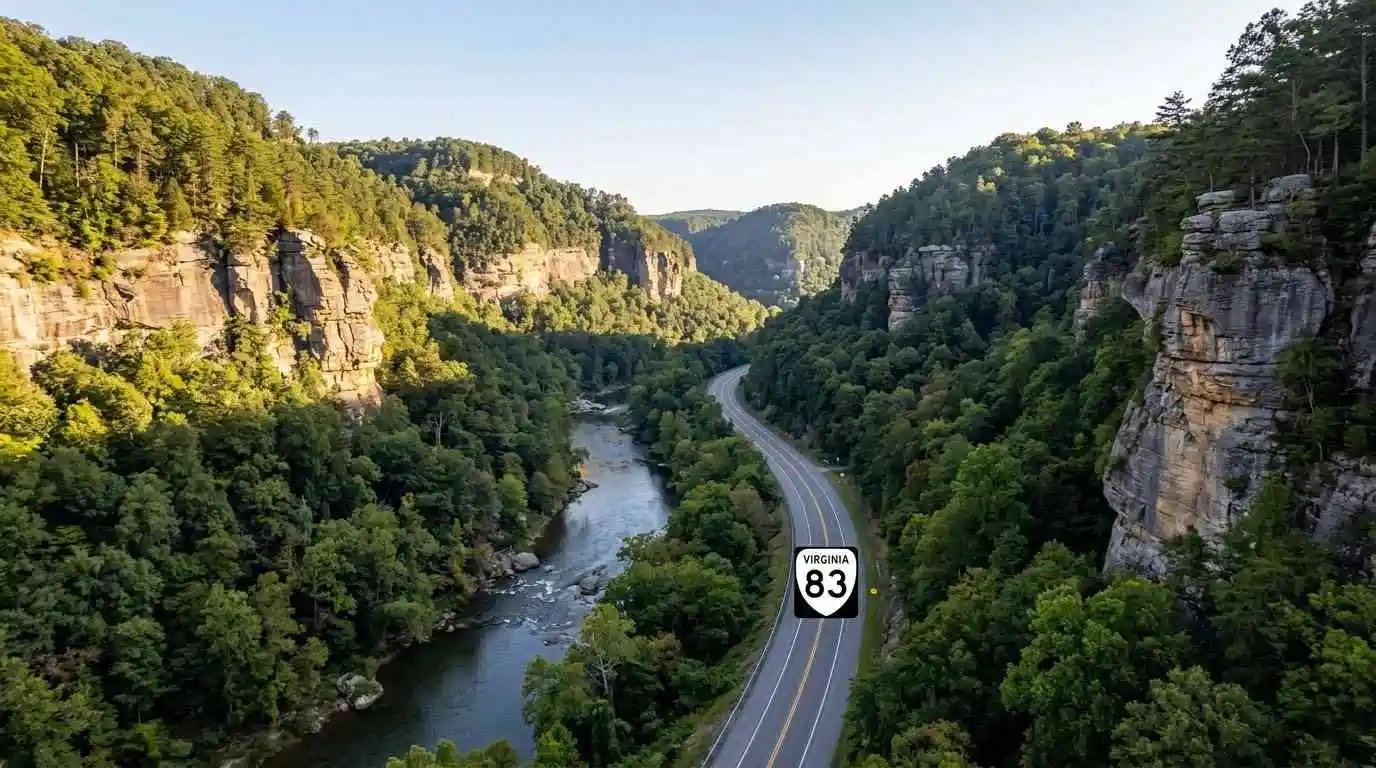
Winding through the deep, dramatic coalfield canyons of Buchanan and Dickenson counties toward the Kentucky border, the Breaks Roaring Plains and Route 83 motorcycle guide covers one of the most rugged Appalachian routes in Virginia. Centered around Virginia Route 83 and providing direct access to Breaks Interstate Park—known as the “Grand Canyon of the South”—this corridor cuts through thousand-foot sandstone gorges carved by the Russell Fork River. Featuring tight cliffside turns, sweeping river valley curves, and rich regional coal heritage, Route 83 delivers a unique combination of technical cornering and majestic geological scenery.
Key Riding Highlights & Route 83 Canyon Conditions
Navigating the cliffside curves and coalfield highways of Route 83 requires specific road awareness:
- 1. Carving the Sandstone Gorges Near Breaks Interstate Park:
Approaching the park boundary on Route 83 and Route 80 features dramatic elevation changes and tight turns bounded by sheer rock bluffs. Enjoy sweeping views of the Russell Fork gorge while maintaining steady throttle control through blind curves. - 2. Watch for Coal Hauling Trucks and Commercial Transport:
Route 83 is a key commercial artery for coalfield communities like Grundy and Vansant. Be prepared for slow-moving coal trucks on steep grades and maintain extra space when following heavy vehicles around narrow turns. - 3. Mind Loose Coal Dust and Gravel in Turn Apexes:
Industrial transport along coalfield routes occasionally leaves fine coal dust or loose gravel near road shoulders and intersections. Reduce lean angles slightly on corners near active hauling access lanes. - 4. Sharp Moisture Retention in Deep River Canyons:
Because the steep sandstone walls block direct sunlight in the deep river cuts, pavement near Russell Fork can remain cold and damp well into midday. Exercise care on shaded rock curves.
Before venturing into remote coalfield canyons, perform a complete pre-ride mechanical inspection using the complete pretrip motorcycle maintenance guide. Check cold tire pressure and tread depth for mountain canyon asphalt with motorcycle tire pressure and tread maintenance for mountain curves and slick asphalt. If connecting to southern crest passes, review clinch mountain and route 80 motorcycle guide.
Conclusion: The Grand Canyon of the South Byway
Studying this Breaks Roaring Plains and Route 83 motorcycle guide arms riders with essential road insights to safely explore Virginia’s coalfield canyon country. Offering breathtaking sandstone gorge vistas, technical river curves, and rich cultural history, Route 83 is a highlight of any far-west Virginia tour.
Legal Disclaimer: This guide is provided for educational and route-planning purposes only. Always observe posted speed limits, yield to commercial transport, and ride within your capabilities.
Official & Credible Sources
- Virginia Department of Transportation (VDOT) — Buchanan & Dickenson Travel Alerts: https://www.virginiadot.org
- Breaks Interstate Park Official Directory — Grand Canyon of the South: https://www.breakspark.com
- Virginia Tourism Corporation — Heart of Appalachia & Coalfield Region: https://www.virginia.org
Enjoyed This Guide? Explore Related Virginia Touring Resources:
- Mountain Crest Passes: Climb technical switchbacks on clinch mountain and route 80 motorcycle guide.
- Valley Bowl Passes: Tour secluded mountain bowls on burkes garden motorcycle ride guide.
- Pre-Trip Safety: Inspect your motorcycle before canyon rides using the complete pretrip motorcycle maintenance guide.
- Tire Maintenance: Optimize rubber traction for shaded gorge asphalt with motorcycle tire pressure and tread maintenance for mountain curves and slick asphalt.
- Technical Mountain Pass: Experience 435 technical turns on route 16 back of the dragon motorcycle guide.
Leave a Reply