Category: Scenic Riding Trails

  • Best Spring Motorcycle Rides in Virginia for Scenic Blooms 2026

    Best Spring Motorcycle Rides in Virginia for Scenic Blooms 2026

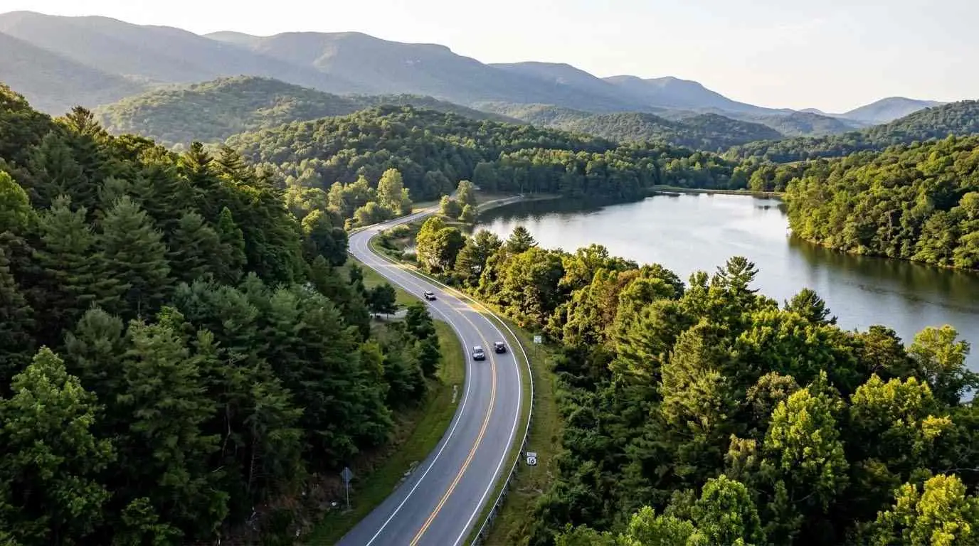
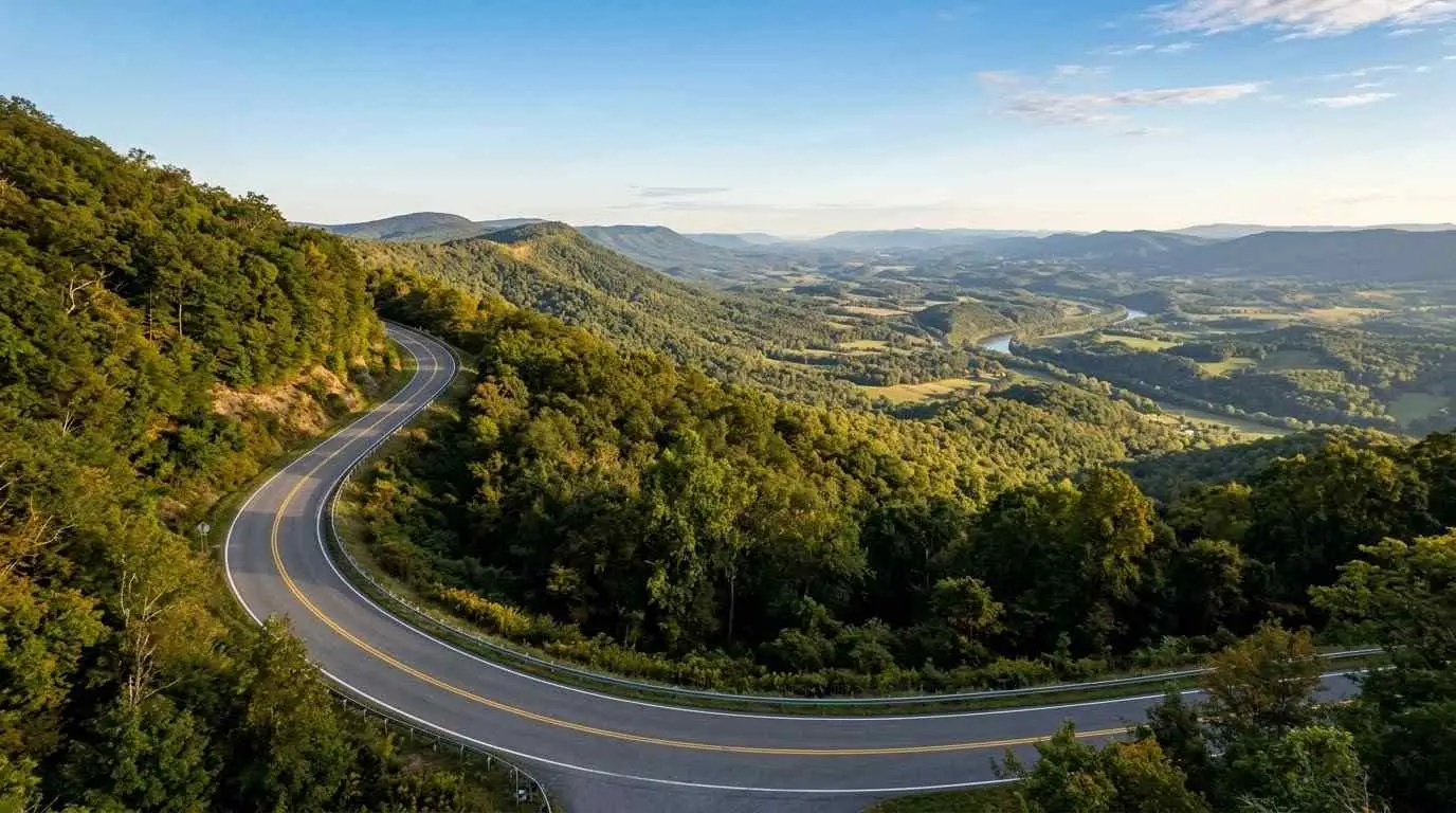
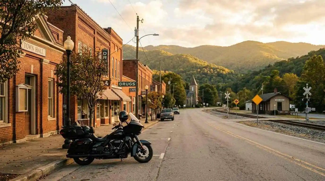
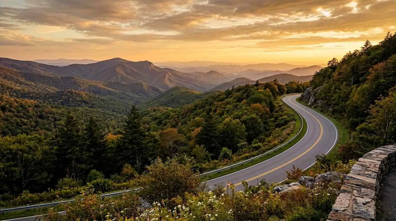
    There is a distinct moment every April when the cold bite of Appalachian winter officially surrenders to something extraordinary. The crisp morning air carries the rich scent of damp pine and mountain laurel, and the dark, winter-weary asphalt of Virginia’s backroads is suddenly framed by vibrant explosions of pink redbuds, snow-white dogwoods, and lush valley greenery. Throwing a leg over your motorcycle during this seasonal awakening is pure magic. Taking on the best spring motorcycle rides in Virginia for scenic blooms is about feeling the subtle shifts in thermal mountain currents, watching entire valleys transform in real time, and celebrating the long-awaited return of warm, winding miles.

    Spring Bloom Route Data & Regional Comparisons

    To help you timing your rides effectively, the table below compares Virginia’s top spring corridors based on elevation, dominant floral species, and peak viewing windows:

    Scenic CorridorPeak Bloom WindowPrimary Floral SpeciesAverage Spring Temp (°F)Technical Difficulty
    Shenandoah Valley (Rt 11 / Rt 211)Early April – Mid AprilEastern Redbud, Apple Blossoms58°F – 64°FModerate
    Skyline Drive (Central Section)Mid April – Late AprilFlowering Dogwood, Mountain Laurel50°F – 58°FRelaxed (35 mph)
    Blue Ridge Parkway (Northern VA)Late April – Early MayWild Azaleas, Red Maples52°F – 60°FSweeping Curves
    Southwest Heritage Trail (Rt 58 / Rt 16)Late April – Mid MayMountain Laurel, Rhododendron55°F – 65°FHighly Technical

    Top Spring Routes & Seasonal Riding Conditions

    Planning a spring ride requires balancing temperature variations with elevation shifts across the Commonwealth:

    • 1. Shenandoah Valley Apple Blossom Loop (Route 211 to Winchester): Riding through Page Valley in mid-April offers miles of orchard blossoms framed by the Blue Ridge Mountains. Ensure your motorcycle is in top mechanical shape before setting off by reviewing our guide on how to prepare your motorcycle for long-distance touring.
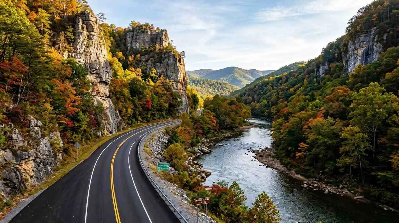
    • 2. The Redbud Run via Route 39 (Maury River Canyon): This route winds alongside towering rock faces covered in magenta redbud blossoms. Because spring road surfaces can hold morning moisture, maintain smooth throttle control and stay informed on legal gear requirements by checking Virginia motorcycle laws 2026 helmets lane splitting and regulations.
    • 3. Skyline Drive Dogwood Crest: High-elevation spring riding means cooler air, but the white dogwood canopy creates an unforgettable tunnel effect. If you are debating between low-valley runs and high-ridge rides, compare your options in our detailed breakdown of riding Skyline Drive vs Blue Ridge Parkway which route is better.

    Spring Elevation Temperature & Wildlife Activity Metrics

    [Spring Elevation & Wildlife Metrics]
    High Elevation (3,000+ ft): 48°F – 55°F | Peak Bloom: Late April/May | Wildlife Danger: HIGH (Deer/Bears)
    Low Valleys (under 1,000 ft): 60°F – 68°F | Peak Bloom: Early April | Wildlife Danger: MODERATE

    • Thermal Shifts: Temperatures drop roughly 3.5°F for every 1,000 feet of elevation gain. Always pack windproof layers when transitioning from valley floors to mountain crests.
    • Wildlife Movement Stat: Deer and black bear movement along road shoulders spikes by 40% during early morning and dusk hours in spring as animals forage on new plant growth.

    Exploring the best spring motorcycle rides in Virginia for scenic blooms provides a sensory experience that no other season can duplicate. By monitoring bloom windows, tracking elevation temperatures, and respecting seasonal wildlife activity, you can enjoy a safe and visually breathtaking start to your riding year.

    Legal Disclaimer: This guide is provided for informational and travel planning purposes only. Peak bloom dates and road conditions vary annually based on weather patterns. Always verify road status with VDOT before traveling.

    Official & Credible Sources

  • Skyline Drive vs Blue Ridge Parkway: Which Riding Route is Better? (2026)

    Skyline Drive vs Blue Ridge Parkway: Which Riding Route is Better? (2026)

    Virginia is home to two of the most iconic scenic highways in the United States: Skyline Drive and the Blue Ridge Parkway. Running along the crest of the Blue Ridge Mountains, both routes offer sweeping valley views, dense forest canopies, and smooth mountain asphalt. However, choosing between riding Skyline Drive vs Blue Ridge Parkway which route is better depends entirely on your preferred speed, budget, route length, and riding style.

    Key Differences: Skyline Drive vs. Blue Ridge Parkway

    Understanding the operational differences helps you select the ideal route for your journey:

    • Distance & Coverage: Skyline Drive spans 105 miles strictly within Shenandoah National Park (from Front Royal to Waynesboro). The Blue Ridge Parkway begins where Skyline Drive ends, stretching 469 miles south into North Carolina.
    • Speed Limits & Pace: Skyline Drive strictly enforces a 35 mph speed limit due to dense wildlife activity and high park traffic. The Blue Ridge Parkway allows a slightly faster 45 mph cruise, providing a more fluid, long-range touring rhythm.
    • Entry Fees: Skyline Drive requires a National Park entrance fee (or America the Beautiful Pass) since it runs entirely through a national park. The Blue Ridge Parkway is completely free to ride with no toll gates or entry fees.
    • Overlooks & Scenery: Skyline Drive features 75 designated overlooks, mostly facing east and west across the Shenandoah Valley. The Blue Ridge Parkway offers vast elevation changes, passing through higher mountain gaps, deep gorges, and rustic historic landmarks.

    Which Route Fits Your Riding Style?

    Select your route based on your trip duration, cornering expectations, and itinerary goals:

    • Choose Skyline Drive if: You want a relaxed, highly regulated weekend cruise with guaranteed amenities, frequent scenic overlooks, and proximity to national park campgrounds. It pairs exceptionally well with multi-day trips when you prepare your gear using our checklist on how to prepare your motorcycle for long-distance touring.
    • Choose the Blue Ridge Parkway if: You prefer long-distance touring without entrance fees, higher speed limits, and the freedom to branch off into technical side routes.
    • Combine Both for the Ultimate Tour: Many riders link both highways into a single multi-day itinerary. If you plan to camp along the ridge, review our guide on motorcycle camping in Virginia top campsites and route planning to book paved-pad campsites in advance.
    • Looking for Technical Curves Instead? If both parkways feel too relaxed and you crave sharper switchbacks and extreme lean angles, head further southwest to tackle Virginia State Route 16 complete riding guide to the Back of the Dragon.

    Comparing riding Skyline Drive vs Blue Ridge Parkway which route is better comes down to your personal travel goals. Whether you choose the quiet, park-protected curves of Skyline Drive or the endless mountain horizons of the Blue Ridge Parkway, both deliver world-class motorcycle touring through Virginia’s finest landscapes.

    Legal Disclaimer: This guide is provided for educational and travel planning purposes only. Road closures, weather hazards, and seasonal maintenance affect both parkways. Always check official National Park Service advisories before riding.

    Official & Credible Sources

  • Virginia State Route 16: Riding Guide to Back of the Dragon 2026

    Virginia State Route 16: Riding Guide to Back of the Dragon 2026

    Crossing two mountain ranges between Marion and Tazewell in Southwest Virginia, Virginia State Route 16 offers one of the most technical riding experiences in North America. Known globally as the “Back of the Dragon,” this 32-mile stretch packs over 320 sharp curves, hairpins, and elevation changes into a dense, forested mountain pass. Following a Virginia State Route 16 complete riding guide to the Back of the Dragon provides riders with the tactical lines, safety precautions, and stopover points necessary to master this legendary Appalachian highway.

    Route Breakdown: The Three Mountain Passes

    State Route 16 cuts directly over Hungry Mother State Park, Walker Mountain, and Clinch Mountain, delivering distinct technical segments:

    • The Southern Climb (Marion to Hungry Mother State Park): Leaving Marion, Route 16 opens with smooth pavement sweepers around Hungry Mother Lake before tightening into dense elevation climbs surrounded by hardwoods.
    • Walker Mountain Summit: The central technical gauntlet features rapid S-curves, decreasing-radius turns, and steep drops requiring precise throttle modulation and smooth lean transitions.
    • Clinch Mountain Descent to Tazewell: The northern section delivers sweeping panoramic valley views, steep switchbacks, and leads directly into Tazewell, home to the official Back of the Dragon Welcome Center.

    Tactical Riding Tips for Technical Mountain Curves

    Navigating over 320 turns in 32 miles demands intense concentration and structured riding discipline:

    1. Maintain Vision Lead into Blind Apexes: Look through every corner toward your exit point. Curves on Route 16 tighten unexpectedly, and maintaining a wide entry line gives you maximum visibility for oncoming traffic.
    2. Control Entry Speed with Trail Braking: Avoid heavy late braking while leaned over. Complete the majority of your deceleration in a straight line before initiating turn-in.
    3. Watch for Shadowed Moisture & Gravel: Dense forest canopy keeps morning dew and tree sap on shaded asphalt long after sunrise. Gravel frequently washes out from unpaved driveway entries after rainstorms.
    4. Respect Local Speed Transitions: Route 16 is a rural two-lane state highway. Mind local speed limits near residential properties and yield to agricultural trucks using the mountain pass.

    Following this Virginia State Route 16 complete riding guide to the Back of the Dragon ensures a safe, thrilling journey across one of the premier motorcycle roads in the United States. Taking time to respect mountain elevation shifts and practicing smooth throttle control will reward you with an unforgettable ride.

    Legal Disclaimer: This guide is provided for educational and travel planning purposes only. Road conditions, construction zones, and weather closures vary by season. Always verify local VDOT travel advisories before riding.

    Official & Credible Sources

  • 10 Best Hidden Gem Motorcycle Roads in Virginia 2026 Guide

    10 Best Hidden Gem Motorcycle Roads in Virginia 2026 Guide

    While world-famous routes like Skyline Drive and the Blue Ridge Parkway draw thousands of tourists every weekend, Virginia’s vast landscape holds countless lesser-known backroads that offer equally breathtaking views without the heavy RV traffic and low speed limits. Exploring the 10 best hidden gem motorcycle roads in Virginia rewards riders with serene mountain passes, uncrowded river valleys, and technical curves that showcase the authentic heart of Old Dominion.

    Top Uncrowded Backroads & Mountain Passes

    These ten underrated routes deliver exceptional asphalt conditions, minimal traffic, and pure riding freedom:

    • Route 81 (Tazewell to Saltville): Carving through the Clinch Mountain range, this secluded pass delivers rapid elevation drops and tight technical S-curves far removed from commercial corridors.
    • Route 606 (Burkes Garden Loop): Known as “God’s Thumbprint,” this bowl-shaped valley south of Tazewell features smooth rural sweeps surrounded by towering mountain walls.
    • Route 42 (The Shenandoah Valley Backcountry): Running parallel to Interstate 81, Route 42 offers a tranquil alternative through pastoral farmland, historic limestone barns, and gentle rolling hills.
    • Route 56 (Tye River Gap): A steep, heavily forested climb ascending the Blue Ridge Mountains that challenges riders with sharp switchbacks and dense canopy shade.
    • Route 39 (Maury River Gorge): Winding alongside the rushing Maury River, this northern Rockbridge County route features dramatic rock walls and sweeping riverbed curves.
    • Route 614 (Jennings Gap to West Virginia Border): A high-elevation backcountry connector delivering crisp mountain air, pristine forest views, and virtually zero vehicle traffic.
    • Route 602 (Shenandoah River Run): Following the South Fork of the Shenandoah River, this low-speed scenic route is ideal for relaxed weekend cruising.
    • Route 231 (Cismont to Sperryville): Flanking the eastern slope of the Blue Ridge, this route weaves through historic Virginia horse country and local orchards.
    • Route 80 (Hayters Gap): A demanding southwest Virginia pass featuring rapid corner transitions, dense timber, and elevated ridge overlooks.
    • Route 623 (Cowan Gap Road): Crossing Walker Mountain, this narrow asphalt route provides technical thrill seekers with tight apexes and steep drops.

    Essential Planning Tips for Backcountry Cruising

    Riding off the beaten path requires extra awareness and smart trip preparation:

    1. Verify Fuel & Cellular Coverage: Hidden gem roads often run through isolated mountain valleys where cell signal disappears completely. Fuel up in hub towns before venturing onto rural connectors.
    2. Watch for Local Agricultural Traffic: Rural routes frequently pass active farmland. Keep an eye out for farm equipment, loose gravel near tractor access points, and free-range livestock.
    3. Download Offline Route Maps: Relying on live GPS streaming can leave you stranded in dead zones. Save your route maps offline prior to departing.
    4. Maintain Conservative Entry Speeds: Unmarked rural curves can tighten unexpectedly. Leave a wide margin of safety for oncoming agricultural trucks and hidden driveway entries.

    Riding the 10 best hidden gem motorcycle roads in Virginia opens up a world of quiet adventure beyond the standard tourist corridors. Respecting local rural speed limits and preparing for unmapped road conditions ensures every backcountry ride remains safe, scenic, and unforgettable.

    Legal Disclaimer: This guide is provided for travel planning and educational purposes only. Rural road conditions, weather closures, and asphalt quality vary by season. Always check local VDOT advisories prior to your ride.

    Official & Credible Sources

  • Highland County Virginia: A Quiet Motorcycle Escape & Route Guide 2026

    Highland County Virginia: A Quiet Motorcycle Escape & Route Guide 2026

    Tucked away along the West Virginia border, Highland County—affectionately known as “Virginia’s Little Switzerland”—is the state’s least populated county. Defined by towering mountain ridges, lush agricultural valleys, and crisp high-elevation air, this remote corner of the Commonwealth offers unmatched peace for riders seeking to leave city traffic behind. Choosing Highland County Virginia a quiet motorcycle escape guarantees miles of uncrowded, pristine asphalt through winding river valleys, historic farmsteads, and high mountain passes.

    Iconic Mountain Passes & Scenic Rural Loops

    Exploring Highland County delivers pure riding enjoyment across several renowned scenic routes:

    • US Route 250 (Shenandoah Mountain Pass): Crossing directly into Monterey from Churchville, Route 250 climbs through sharp curves and elevation changes over Shenandoah Mountain, offering panoramic ridge views and smooth tarmac.
    • US Route 220 (The Blue Grass Valley Corridor): Running north-south through the county, Route 220 links the historic town of Monterey to the peaceful pastoral landscapes of the Blue Grass Valley, framed by rolling pastures and timbered peaks.
    • Virginia Route 84 (Lower Sounding Knob Pass): Winding west toward West Virginia, Route 84 follows Jackson River tributaries through narrow rock gaps, featuring sweeping turns and virtually no commercial traffic.
    • The Historic Town of Monterey: The charming county seat serves as the perfect mountain basecamp, offering local cafes, historic inns, and quick access to regional maple syrup farms.

    Essential Tips for Exploring “Virginia’s Little Switzerland”

    Navigating remote high-elevation backroads requires smart preparation to ensure a smooth journey:

    1. Plan Fuel & Cellular Stops Wisely: Cellular service is extremely limited in deep mountain gaps. Gas stations are concentrated primarily in Monterey, so top off your fuel tank whenever passing through town and keep offline maps loaded.
    2. Watch for Free-Range Farm Livestock & Debris: Highland County is active agricultural land. Be prepared for farm machinery, occasional stray livestock near open pastures, and gravel washed onto inside turns after rainstorms.
    3. Dress for Cooler High-Elevation Temperatures: Sitting at higher average elevations than surrounding regions, Highland County is consistently 5 to 10 degrees cooler. Pack windproof layers, especially when riding in early spring or autumn.
    4. Mind Shadowed Road Sections: Dense timber can keep morning frost or damp pavement lingering in shaded hollows long after sunrise. Maintain controlled entry speeds into blind mountain curves.

    Planning an itinerary for Highland County Virginia a quiet motorcycle escape provides a refreshing break from crowded highways. Respecting local speed transitions, keeping an eye on weather shifts, and soaking in the high-mountain scenery will make this one of your favorite motorcycle getaways in the mid-Atlantic.

    Legal Disclaimer: This guide is provided for educational and travel planning purposes only. High-mountain weather, agricultural road conditions, and local business hours in remote areas can change seasonally. Always verify local road conditions before departing.

    Official & Credible Sources

  • Colonial Parkway Motorcycle Ride Guide: Scenic Virginia Route 2026

    Colonial Parkway Motorcycle Ride Guide: Scenic Virginia Route 2026

    Stretching 23 miles between the James River and the York River, the Colonial Parkway links Virginia’s Historic Triangle: Jamestown, Williamsburg, and Yorktown. Designated as an All-American Road and managed by the National Park Service, this unique scenic highway is free of commercial traffic and billboards. Following a Colonial Parkway motorcycle ride guide allows riders to experience a relaxed, low-speed journey through riverbank vistas, shaded brick tunnels, and historical landmarks along Virginia’s Tidewater peninsula.

    Key Scenic Waypoints & Historic Triangle Stops

    Riding the Colonial Parkway provides a seamless link between three pivotal American historical sites:

    • Jamestown Settlement & Island Loop: Starting at the southern terminus on the James River, this section passes over tidal marshes and offers a scenic loop around Jamestown Island, featuring river views and historic monuments.
    • Colonial Williamsburg Pass & Tunnels: Heading inland, the parkway cuts under the restored historic area of Williamsburg via the famous brick-lined Colonial Parkway Tunnel, surrounded by heavy woodland canopies.
    • Yorktown Battlefield & Riverfront: Approaching the northern end along the York River, the route opens up to sweeping water views, historical earthworks, and the waterfront dining district of Yorktown.

    Essential Tips for Riding the Parkway Surface

    The Colonial Parkway is famous for its unique construction, which requires a specific riding approach:

    1. Mind the Exposed Aggregate Surface: The parkway is paved with aggregate cobble-style concrete designed to mimic an old-world aesthetic. While visually striking, the textured surface can create mild tire hum and tracking vibration through your handlebars.
    2. Observe the Low Speed Limits: Speed limits range strictly between 35 mph and 45 mph. The parkway is patrolled by National Park Service Rangers, so maintaining a relaxed cruise is essential for safety and avoiding fines.
    3. Watch for Wildlife & Cyclists: Deer, wild turkeys, and turtles frequently cross the pavement. Additionally, the parkway is popular with bicycle commuters, requiring extra space when passing.
    4. Prepare for Tunnel Light Transitions: Entering the Williamsburg brick tunnel presents a sudden drop in natural light. Ensure your clear face shield is down and your low beams are operating before entering.

    Utilizing this Colonial Parkway motorcycle ride guide ensures a smooth, memorable journey through Virginia’s historic heartland. Respecting the unique road texture, enjoying the riverfront vistas, and adhering to parkway speed limits makes this one of the finest relaxed cruises in the state.

    Legal Disclaimer: This guide is provided for educational and travel planning purposes only. Road maintenance, tunnel closures, and National Park Service regulations are subject to change. Verify current conditions via the official National Park Service portal prior to your ride.

    Official & Credible Sources