Category: Scenic Riding Trails

  • Wytheville and Wythe County Motorcycle Guide (2026)

    Wytheville and Wythe County Motorcycle Guide (2026)

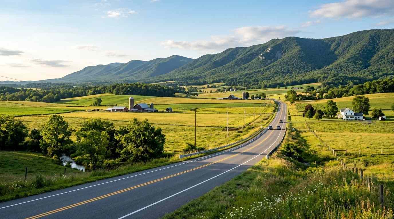
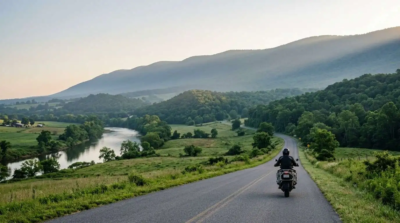
    Wytheville sits at the crossroads of Interstates 77 and 81, which makes this Wytheville and Wythe County motorcycle guide a handy planning tool for riders crossing Southwest Virginia. The town is easy to reach, but it is also a gateway to mountain roads, national forest scenery, and one of the region’s best short scenic drives. Riders can use it as a convenient overnight stop or as a base for a full day of riding.

    Key Riding Highlights in Wytheville and Wythe County

    1. Ride the Big Walker Mountain Scenic Byway

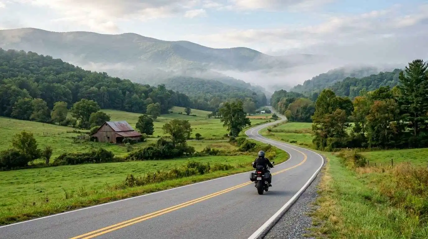
    The Big Walker Mountain Scenic Byway runs roughly 16 miles through Wythe and Bland counties, using Route 717 and US Route 52. It climbs through national forest and farmland and gives you a quieter alternative to the interstate. Access is available from Interstate 77 at Exits 47 and 52, and from Wytheville via US Route 52 (Stony Fork Road).

    2. Stop at Big Walker Lookout

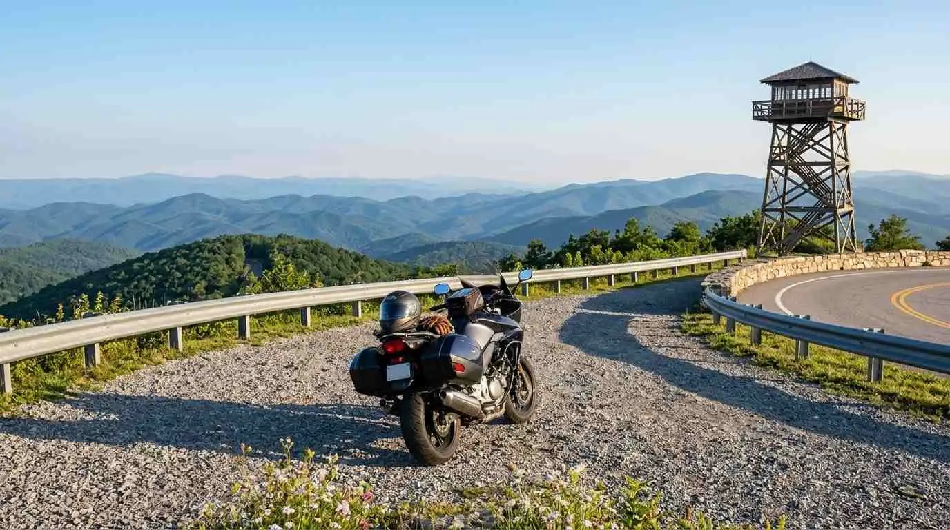
    Big Walker Lookout, near the middle of the byway, is a 100-foot tower with wide mountain views and a gift shop. On clear days you can look west toward the bowl of Burkes Garden, which you can explore further in the Burkes Garden motorcycle ride guide. Parking is limited, so slow down and watch for walkers near the lot.

    3. Use Wytheville as a Touring Base

    Wytheville has lodging, restaurants, and fuel at the junction of two major interstates, which makes it practical for riders connecting longer trips. The Great Lakes to Florida Highway Museum is a good stop if you want a break from the saddle.

    4. Plan Your Day Around Elevation

    Big Walker Mountain rises above the valley, and temperatures and conditions can change quickly as you climb. Start with a full tank, bring layers, and give yourself extra daylight.

    Safety Tips for Wythe County Roads

    Heavy Truck Traffic at the Interstate Crossroads

    Interstates 77 and 81 meet near Wytheville, and truck traffic can be heavy around the junction. Keep extra space, avoid riding beside large trucks, and merge early at ramps.

    Tunnel and Mountain Weather

    Interstate 77 passes through the Big Walker Mountain Tunnel north of town. Tunnel lighting and air temperature differ from the open road, so remove dark visors or sunglasses before entering and reduce speed until your eyes adjust. Fog and rain on the mountain can reduce visibility quickly.

    Gravel and Farm Traffic

    Rural roads in Wythe County include farm entrances, gravel on shoulders, and slow vehicles. Scan the road ahead, stay out of the center of the lane, and avoid passing on blind curves.

    Prepare Before You Ride

    Mountain byways reward good tires and brakes. Review motorcycle tire pressure and tread maintenance for mountain curves and slick asphalt before you leave, and fill your tank in Wytheville before you head into the forest.

    Conclusion: A Crossroads Town with Mountain Roads Close By

    Wytheville and Wythe County combine easy interstate access with a short, rewarding scenic byway and a convenient touring base. Plan fuel, watch for trucks and changing mountain weather, and ride within your limits to make the most of a day in Southwest Virginia.

    Legal Disclaimer: This guide is provided for educational and route-planning purposes only. Always observe posted speed limits, check current road and weather conditions, and ride within your capabilities.

    Official & Credible Sources

    Enjoyed This Guide? Explore Related Virginia Touring Resources

    1. Mountain Plateau Ride: Explore the Blue Ridge Parkway plateau section motorcycle guide.
    2. High Country Climb: Study the Whitetop Mountain and Route 603 motorcycle guide.
    3. Southwest Corridor: Compare the Route 58 Southwest Virginia motorcycle ride guide.
    4. Highlands Touring: Try the Route 39 Virginia Highlands motorcycle guide.
    5. Ridge Road Twists: Read the Clinch Mountain and Route 80 motorcycle guide.
  • Abingdon and Washington County Motorcycle Guide (2026)

    Abingdon and Washington County Motorcycle Guide (2026)

    Abingdon is the county seat of Washington County and one of the best-positioned bases for riding in Southwest Virginia, which is why this Abingdon and Washington County motorcycle guide is a practical starting point for any trip to the region. The historic town sits near Interstate 81, South Holston Lake, and the foothills that lead up to Whitetop Mountain and the Mount Rogers area. Riders can combine easy valley roads with mountain climbs, all within a short distance of town.

    Key Riding Highlights in Abingdon and Washington County

    1. Ride US Route 58 East to Damascus

    US Route 58 leaves Abingdon heading east and connects the town to Damascus, a small mountain town known for its trail culture. The road follows the valley, then starts to gain elevation, with curves that increase as you approach the higher country. For a wider route breakdown, see the Route 58 Southwest Virginia motorcycle ride guide.

    2. Climb Toward Whitetop Mountain

    East of Damascus, roads rise into the Mount Rogers area and reach cooler, higher elevations near Whitetop. Expect more curves, steeper grades, and changing weather compared with the valley. Read the Whitetop Mountain and Route 603 motorcycle guide before you go.

    3. Enjoy South Holston Lake Views

    South Holston Lake lies near Abingdon, straddling the Virginia and Tennessee border. Rolling roads around the lake offer open views and relaxed riding, which makes them a good choice for a lighter day or a warm-up before a mountain climb.

    4. Explore Historic Abingdon

    Abingdon has a walkable historic downtown with restaurants, shops, and lodging that suit riders looking for a comfortable overnight base. Arrive early on weekends, because parking and traffic can fill quickly during events.

    Safety Tips for Washington County Roads

    Share the Roads with Cyclists and Hikers

    The Virginia Creeper Trail runs from Abingdon through Damascus to Whitetop, and it is a shared-use recreation trail for hikers and cyclists, not for motorcycles. Keep to public roads, and expect cyclists and pedestrians near Damascus and at trail crossings.

    Interstate 81 Traffic Near Abingdon

    Interstate 81 carries heavy truck traffic past Abingdon. Leave extra space, avoid riding beside trucks, and merge early at ramps.

    Cool Weather and Fog at Elevation

    Temperatures drop as you climb toward Whitetop, and fog and rain can arrive quickly. Carry layers and rain gear, reduce speed when visibility drops, and watch for wet leaves and gravel on the shoulders.

    Prepare Before You Ride

    Mountain climbs and descents ask a lot of your tires and brakes, so review motorcycle tire pressure and tread maintenance for mountain curves and slick asphalt before leaving. Fill your tank in Abingdon or Damascus before heading into the higher country.

    Conclusion: A Practical Base for Southwest Virginia Touring

    Abingdon and Washington County give riders valley cruising, a historic base town, and quick access to the mountains around Whitetop. Plan your fuel, watch for cyclists and changing weather, and ride within your limits for a varied and rewarding trip.

    Legal Disclaimer: This guide is provided for educational and route-planning purposes only. Always observe posted speed limits, check current road and weather conditions, and ride within your capabilities.

    Official & Credible Sources

    Enjoyed This Guide? Explore Related Virginia Touring Resources

    1. Mountain Ridge Roads: Explore the Clinch Mountain and Route 80 motorcycle guide.
    2. Hidden Valley Ride: Try the Burkes Garden motorcycle ride guide.
    3. Technical Twisties: Study the Snake Route 421 motorcycle guide.
    4. Far Southwest Scenic Byway: Continue to the Route 42 Cumberland Gap scenic byway motorcycle guide.
    5. Coalfield Overlooks: Read the Breaks, Roaring Plains and Route 83 motorcycle guide.

  • Roanoke and Roanoke Valley Motorcycle Guide (2026)

    Roanoke and Roanoke Valley Motorcycle Guide (2026)

    Surrounded by the majestic Ridge-and-Valley Appalachians, the Roanoke and Roanoke Valley motorcycle guide explores southwestern Virginia’s largest urban touring destination. Known affectionately as the “Star City of the South,” Roanoke sits at a critical intersection where the Blue Ridge Parkway weaves directly past the city limits. Offering a unique combination of rich industrial heritage, vibrant mountain culture, and rapid transitions from city streets to technical ridge sweeps, the Roanoke Valley is an indispensable urban basecamp for motorcycle enthusiasts.

    Key Riding Highlights & Roanoke Valley Conditions

    Navigating the urban connectors, mountain overlooks, and forest passes of the Roanoke Valley requires sharp attention to changing road dynamics:

    • 1. Direct Blue Ridge Parkway Access Ramps:
      Roanoke features multiple access points onto the Parkway (US 220, Route 460, and Mill Mountain Spur). Anticipate steep climbing curves, commuter traffic merging onto Parkway sections, and speed limit reductions near city interchanges.
    • 2. Conquer the Technical Climbs of Virginia Route 311:
      Heading northwest toward Catawba and Craig County, Route 311 ascends Catawba Mountain with sharp switchbacks, tight hairpin turns, and elevation changes popular among sport-touring riders.
    • 3. Scenic Mill Mountain Parkway and Overlook Loop:
      Riding up to the iconic Roanoke Star via Mill Mountain Parkway provides a short, technical climbing road rewarding riders with panoramic vistas of downtown Roanoke and the surrounding valley basin.
    • 4. Navigate Urban Arterials and Commuter Junctions:
      Transitioning between rural backroads and urban centers involves heavy commuter traffic on US 220, Route 416, and Interstate 581. Watch for quick lane shifts, traffic light stops on steep grades, and unseen surface debris.

    Before departing the valley for high-elevation ridge runs, perform a comprehensive mechanical check using the complete pretrip motorcycle maintenance guide. Check cold tire pressure and tread depth for mountain curves using motorcycle tire pressure and tread maintenance for mountain curves and slick asphalt. If exploring southern valley agricultural corridors, review waynesboro and augusta county motorcycle guide.

    Conclusion: Southwestern Virginia’s Premier Urban Mountain Hub

    Studying this Roanoke and Roanoke Valley motorcycle guide prepares riders to experience a seamless blend of urban amenities and immediate access to world-class mountain curves. Offering mountain overlooks, technical backroads, and rich history, Roanoke remains a central anchor for Virginia touring.

    Legal Disclaimer: This guide is provided for educational and route-planning purposes only. Always observe posted speed limits, exercise caution on urban mountain connectors, and ride within your capabilities.

    Official & Credible Sources


    Enjoyed This Guide? Explore Related Virginia Touring Resources:

    1. Northern Valley Hub: Explore agricultural valley corridors on waynesboro and augusta county motorcycle guide.
    2. Central Valley Hub: Tour central valley backroads on harrisonburg and rockingham county motorcycle guide.
    3. Pre-Trip Safety Inspection: Perform essential pre-ride checks using the complete pretrip motorcycle maintenance guide.
    4. Tire Maintenance: Maintain inflation and tread depth with motorcycle tire pressure and tread maintenance for mountain curves and slick asphalt.
    5. East-West Mountain Passes: Climb dual-lane grades on us route 33 swift run gap motorcycle guide.

  • Harrisonburg and Rockingham County Motorcycle Guide (2026)

    Harrisonburg and Rockingham County Motorcycle Guide (2026)

    Set in the middle of the Shenandoah Valley, between the Blue Ridge Mountains to the east and the Allegheny ridges to the west, the Harrisonburg and Rockingham County motorcycle guide covers a flexible riding base. Harrisonburg is a lively university city, and Rockingham County surrounds it with farmland, small towns, and national forest roads. You can plan relaxed valley loops, a mountain climb over the Blue Ridge, or a quiet forest backroad day, all from the same starting point.

    Key Riding Highlights in Harrisonburg and Rockingham County

    1. Ride US Route 33 East to Swift Run Gap

    US Route 33 leaves Harrisonburg heading east and climbs toward Swift Run Gap and the Skyline Drive entrance. Expect long climbing sections, wide curves, and passing zones, followed by a long descent on the far side. For details on the pass itself, read the US Route 33 Swift Run Gap motorcycle guide.

    2. Cruise the Valley Curves on Route 42

    Route 42 passes through western Rockingham County and offers smooth, flowing curves through farm country with open mountain views. Traffic is lighter than on the main highways, which makes it a good choice for an unhurried morning ride.

    3. Explore Forest Backroads Toward Briery Branch

    Heading west toward the George Washington National Forest, roads such as Route 257 become narrower and more shaded, with tighter curves and less room for error. Shade can keep the pavement damp, so reduce speed and ride with extra margin.

    4. Combine Valley Loops with the Skyline Drive

    Many riders pair a Rockingham County loop with a day on the parkway. If you want to continue north along the ridge, see the Skyline Drive central section motorcycle guide.

    Safety Tips for Rockingham County Roads

    Horse-Drawn Buggies and Farm Equipment

    Parts of western Rockingham County are home to Old Order Mennonite communities, and horse-drawn buggies and slow farm equipment share the roads. Expect them around blind crests and curves, reduce speed over hills, and pass only when you have clear visibility.

    Gravel and Mud at Farm Entrances

    Rural entrances can leave gravel, mud, or hay on the road. Scan the pavement ahead, keep your lean angle conservative, and slow down well before turning farm lanes.

    Damp, Shaded Forest Pavement

    Forest roads dry slowly, especially in the morning and after rain. Use smooth throttle and brake inputs, and avoid hard braking in corners.

    Prepare Before You Ride

    Rural roads and mountain climbs both demand good tires, so review motorcycle tire pressure and tread maintenance for mountain curves and slick asphalt. Carry enough fuel, since services thin out quickly once you leave the main highways.

    Conclusion: A Flexible Hub in the Central Shenandoah Valley

    Harrisonburg and Rockingham County give riders valley cruising, a Blue Ridge crossing, and forest backroads within easy reach of each other. Watch for buggies, farm equipment, and damp shaded corners, plan your fuel, and ride within your limits for a varied and rewarding day.

    Legal Disclaimer: This guide is provided for educational and route-planning purposes only. Always observe posted speed limits, yield to horse-drawn vehicles and farm equipment, and ride within your capabilities.

    Official & Credible Sources

    Enjoyed This Guide? Explore Related Virginia Touring Resources

    1. Neighboring Valley Hub: Compare the Route 250 Waynesboro to Staunton motorcycle guide.
    2. Massanutten Backroads: Try the Fort Valley and Massanutten Mountain motorcycle loop guide.
    3. Blue Ridge Crossing: Study the US Route 33 Swift Run Gap motorcycle guide.
    4. Park Ridge Ride: Continue on the Skyline Drive central section motorcycle guide.
    5. Alpine Highlands: Head west on the Highland County maple and mountain loop guide.

  • Waynesboro and Augusta County Motorcycle Guide (2026)

    Waynesboro and Augusta County Motorcycle Guide (2026)

    Waynesboro sits at Rockfish Gap, where Skyline Drive ends and the Blue Ridge Parkway begins, which makes the Waynesboro and Augusta County motorcycle guide a useful planning tool for riders who want both mountain parkways and quiet valley roads. Augusta County surrounds the city with farmland, small towns, and long views of the Blue Ridge to the east and the Allegheny ridges to the west. It works as a launch point for a big Shenandoah tour or as an easy base for a relaxed weekend.

    Key Riding Highlights in Waynesboro and Augusta County

    1. Use Rockfish Gap as Your Parkway Gateway

    Rockfish Gap, where Interstate 64 and US Route 250 cross the Blue Ridge, marks the southern end of Skyline Drive and Mile 0 of the Blue Ridge Parkway. Expect highway traffic, tourists, and sudden lane changes around the ramps and entrances. Take your time, check your mirrors, and enter the park roads at a relaxed pace.

    2. Climb Afton Mountain on US Route 250

    From the east, US Route 250 climbs Afton Mountain toward Rockfish Gap. The climb has steady grades and curves that suit smooth riding, and you can connect it directly to the Skyline Drive southern section motorcycle guide or the Blue Ridge Parkway ridge section motorcycle guide.

    3. Ride the Valley Farm Roads

    West of Waynesboro, Augusta County offers a network of rural roads between pastures, barns, and small communities. These roads are quieter than the main highways and suit riders who prefer scenery and an easy rhythm. For the main valley connector, see the Route 250 Waynesboro to Staunton motorcycle guide.

    4. Plan Fuel and Stops Before the Parkway

    Fuel stations on the parkway are limited. Fill your tank in Waynesboro before you enter Skyline Drive or the Blue Ridge Parkway, and check opening hours for any visitor facilities you plan to use.

    Safety Tips for Augusta County Roads

    Fog and Weather at the Gap

    Rockfish Gap and the mountain approaches can see sudden fog and cooler temperatures compared with the valley floor. Use low-beam headlights, increase your following distance, and slow down before entering low-visibility sections.

    Farm Machinery and Gravel

    Augusta County is an active farming area. Tractors, farm trucks, and gravel at field entrances can appear around curves. Stay out of the center of the lane and avoid passing on blind bends.

    Interstate and Ramp Traffic

    Interstate 64 and US Route 250 meet near Waynesboro, and traffic can bunch up around exits and the gap. Keep a safe gap, avoid riding in a driver’s blind spot, and merge early.

    Prepare Before You Ride

    Mountain roads reward good tires, so review motorcycle tire pressure and tread maintenance for mountain curves and slick asphalt before leaving. If you plan to cross the Blue Ridge toward the valley, check the US Route 33 Swift Run Gap motorcycle guide as well.

    Conclusion: The Southern Gateway to Two Famous Parkways

    Waynesboro and Augusta County combine easy valley riding with direct access to Skyline Drive and the Blue Ridge Parkway. Plan fuel before you climb, watch for fog and farm traffic, and ride within your limits to enjoy a varied and rewarding day in the saddle.

    Legal Disclaimer: This guide is provided for educational and route-planning purposes only. Always observe posted speed limits, check current road and park conditions, and ride within your capabilities.

    Official & Credible Sources

    Enjoyed This Guide? Explore Related Virginia Touring Resources

    1. Parkway Start: Ride from Mile 0 on the Blue Ridge Parkway ridge section motorcycle guide.
    2. Park Ridge Ride: Continue north on the Skyline Drive southern section motorcycle guide.
    3. Valley Connector: Compare the Route 250 Waynesboro to Staunton motorcycle guide.
    4. Mountain Pass Crossing: Try the US Route 33 Swift Run Gap motorcycle guide.
    5. Alpine Highlands: Follow US 250 west on the Highland County maple and mountain loop guide.

  • Front Royal and Warren County Motorcycle Guide (2026)

    Front Royal and Warren County Motorcycle Guide (2026)

    Positioned at the northern end of Shenandoah National Park and Skyline Drive, the Front Royal and Warren County motorcycle guide covers the main gateway to Blue Ridge touring. Front Royal sits where the North and South Forks of the Shenandoah River meet, and it blends a historic downtown with quick access to mountain roads, river highways, and rural backroads. It works both as a launch point for full-length Skyline Drive rides and as a destination in its own right.

    Key Riding Highlights in Front Royal and Warren County

    1. Start at Mile 0 of Skyline Drive

    Skyline Drive begins at the park’s northern entrance on US Route 340, at the southern edge of town. Expect visitor traffic, entrance station lines, and slow-moving vehicles on weekends and during fall foliage. The park speed limit is 35 mph, so plan for a relaxed pace rather than spirited riding.

    2. Ride US Route 340 South Along the River

    Heading south from Front Royal toward Page County, US Route 340 follows the South Fork of the Shenandoah River. The road offers broad, predictable curves and open valley views, which makes it an easy connection to the Luray and Page County motorcycle ride guide.

    3. Try Virginia Route 55 East Toward Marshall

    Route 55 runs east from Front Royal across the Blue Ridge foothills toward Marshall. Expect elevation changes, quick transitions, and tighter bends than the valley highways, so it suits experienced riders who can judge corner speed early.

    4. Plan a Stop at Skyline Caverns

    Skyline Caverns sits near the Skyline Drive entrance and makes a convenient stop before or after a ride. Park on level ground and secure your helmet and gear.

    Safety Tips for Warren County Roads

    Commuter Traffic Near Interstate 66

    Front Royal is close to the junction of US Route 340 and Interstate 66, and traffic can build around morning and evening commute hours. Leave extra following distance, watch for sudden lane changes, and avoid peak times when possible.

    Deer and Wildlife

    Rural roads around Front Royal and the park approaches have regular deer crossings, especially at dawn and dusk. Slow down in wooded areas and scan field edges ahead of you.

    Entrance Station Traffic

    Vehicles slow or stop suddenly near park entrances. Keep a safe gap, avoid riding in a car’s blind spot, and have your payment or pass ready before you reach the booth.

    Prepare Before You Ride

    Before any northern Shenandoah tour, complete a full inspection using the complete pretrip motorcycle maintenance guide. Keep correct cold tire pressure and healthy tread with motorcycle tire pressure and tread maintenance for mountain curves and slick asphalt. If you plan to continue along the ridge, read the Skyline Drive central section motorcycle guide.

    Conclusion: The Northern Gateway to Blue Ridge Touring

    This Front Royal and Warren County motorcycle guide helps you connect historic valley towns with mountain roads and park access. Combine the river sweepers of US Route 340, the foothill curves of Route 55, and a Skyline Drive entry at Mile 0 for a varied day of riding. Ride within your limits, watch for traffic and wildlife, and Front Royal remains an easy anchor for any Virginia itinerary.

    Legal Disclaimer: This guide is provided for educational and route-planning purposes only. Always observe posted speed limits, yield to park entrance traffic, and ride within your capabilities.

    Official & Credible Sources

    Enjoyed This Guide? Explore Related Virginia Touring Resources

    1. Valley Connector: Continue south on the Luray and Page County motorcycle ride guide.
    2. Park Central Ridge: Ride the high ridge on the Skyline Drive central section motorcycle guide.
    3. Pretrip Safety: Inspect your bike with the complete pretrip motorcycle maintenance guide.
    4. Tire Care: Review motorcycle tire pressure and tread maintenance for mountain curves.
    5. Mountain Pass Climb: Study the Route 211 Thornton Gap motorcycle guide.