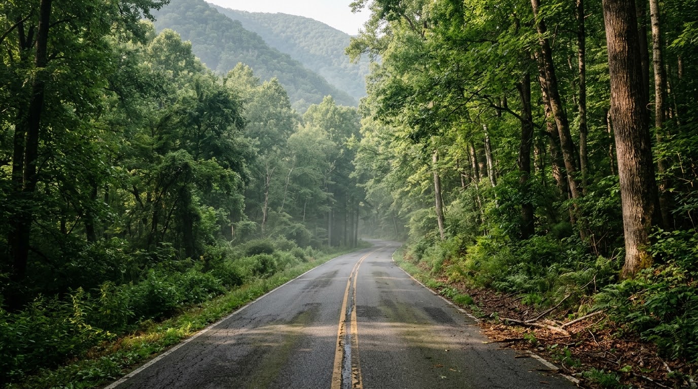
Encased within a unique double-ridge mountain valley in the George Washington National Forest, the Fort Valley and Massanutten Mountain motorcycle loop guide introduces riders to one of the northern Shenandoah Valley’s most secluded natural corridors. Accessible from the north via Virginia Route 678 off Route 55 between Strasburg and Front Royal, Fort Valley runs down the center of Massanutten Mountain, with Passage Creek flowing through the valley floor and exiting through a narrow gorge at the northeast end. With tight, shaded curves, dense forest canopy, and small creek crossings, Fort Valley offers a peaceful, low-traffic alternative to high-ridge national parkways.
Key Riding Highlights & Fort Valley Conditions
Navigating the narrow gaps and densely forested floor of Fort Valley requires focused backroad awareness:
1. Master the Tight, Shaded Curves Near Passage Creek:
The northern end of Fort Valley near Elizabeth Furnace narrows where Passage Creek cuts through the mountain. These shaded turns demand smooth lean angles, precise speed control, and constant sightline scanning.

2. Watch for Gravel Runoff and Damp Asphalt:
Because Fort Valley is heavily shaded by national forest canopy, pavement dampness can linger well into the afternoon. Gravel from forest service roads and trailhead pull-offs can wash into turn apexes after rain.

3. Expect Hikers, Cyclists, and Wildlife:
Recreation areas such as Elizabeth Furnace draw hikers, campers, anglers, and cyclists, and the surrounding forest is home to whitetail deer, wild turkeys, and black bears. Keep speeds conservative around blind curves, especially in early morning and late afternoon.

4. Limited Fuel and Cellular Service:
Cellular coverage can be sparse inside the valley, and fuel stations are generally not available along Route 678. Top off your tank in Front Royal or Strasburg before entering, and confirm surface conditions before using any gap roads out of the valley, since some forest roads nearby are gravel or dirt.

Before exploring isolated forest valleys, perform a complete pre-ride mechanical check using the complete pretrip motorcycle maintenance guide. Ensure correct tire cold inflation pressure and tread depth for shaded forest roads with motorcycle tire pressure and tread maintenance for mountain curves and slick asphalt. If connecting your loop to neighboring valley highways, review luray and page county motorcycle ride guide.
Conclusion: The Shenandoah Valley’s Hidden Mountain Refuge
Studying this Fort Valley and Massanutten Mountain motorcycle loop guide equips riders to safely navigate one of the Mid-Atlantic’s most tranquil mountain valleys. Delivering quiet forest scenery, tight shaded curves, and a peaceful pace, Fort Valley is a true hidden gem for backroad riders.
Legal Disclaimer: This guide is provided for educational and route-planning purposes only. Always observe posted speed limits, account for limited cell coverage, and ride within your capabilities.
Official & Credible Sources
- Virginia Department of Transportation (VDOT) — Shenandoah County Travel Alerts: https://www.virginiadot.org
- U.S. Forest Service (USFS) — George Washington & Jefferson National Forests: https://www.fs.usda.gov/gwj
- Visit Shenandoah County — Fort Valley Travel Information: https://visitshenandoahcounty.com
Enjoyed This Guide? Explore Related Virginia Touring Resources:
- Valley Connectors: Tour nearby Page Valley backroads in luray and page county motorcycle ride guide.
- Parkway Ridge Routes: Experience national park highways on skyline drive northern section motorcycle guide.
- Pre-Trip Safety: Inspect your mechanical systems before backcountry rides using the complete pretrip motorcycle maintenance guide.
- Tire Maintenance: Maintain edge traction on shaded forest asphalt with motorcycle tire pressure and tread maintenance for mountain curves and slick asphalt.
- Valley Highway Sweepers: Explore broader agricultural corridors on route 250 waynesboro to staunton motorcycle guide.
Leave a Reply