Category: Scenic Riding Trails

  • Luray and Page County Motorcycle Ride Guide (2026)

    Luray and Page County Motorcycle Ride Guide (2026)

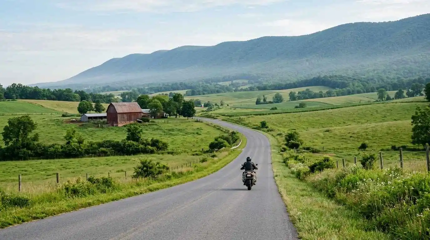
    Set between the Blue Ridge and Massanutten Mountain, the Luray and Page County motorcycle ride guide covers one of the most scenic valley loops in northern Virginia. Page Valley combines the smooth two-lane sweepers of US Route 340, the South Fork of the Shenandoah River, and quick access to the Thornton Gap entrance of Skyline Drive. Riders get relaxed valley pacing, mountain views on every side, and an easy base in the town of Luray.

    Key Riding Highlights in Luray and Page County

    1. Ride the US Route 340 River Sweepers

    US Route 340 follows the South Fork of the Shenandoah River through the heart of Page Valley. Long, flowing curves and open farmland views make this a relaxed corridor for steady, smooth riding. Keep your speed controlled near the small towns along the route, where traffic slows and side roads join the highway.

    2. Cross Massanutten Mountain on US Route 211

    Heading west from Luray, US Route 211 climbs over Massanutten Mountain toward New Market. The climb brings tighter bends and elevation changes compared with the open valley floor. Check your brakes and tire condition before the descent, and use engine braking on the long downgrades.

    3. Connect to Skyline Drive at Thornton Gap

    Riding east from Luray on US Route 211 leads to the Thornton Gap entrance of Skyline Drive. The park speed limit is 35 mph, which suits sightseeing rather than spirited riding. Expect slow tourist traffic, sudden stops at overlooks, and cooler temperatures at the ridge.

    4. Plan Around Luray Caverns and Town Stops

    Luray Caverns, near the town of Luray, is one of the area’s busiest attractions. Weekend and fall foliage traffic increases sharply around it. Start early, park on level ground, and keep your riding gear secure during stops.

    Safety Tips for Page Valley Roads

    Watch for Farm Traffic and Gravel

    Page County is a working agricultural area. Slow tractors, farm equipment, and mud or gravel at field entrances can appear around blind curves. Stay out of the center of the lane, scan far ahead, and avoid passing on curves.

    Deer and Wildlife at Dawn and Dusk

    Deer cross valley roads and mountain approaches throughout the year, especially early in the morning and near sunset. Reduce speed in wooded sections and treat every roadside field edge as a possible crossing point.

    Prepare for Changing Temperatures

    Valley mornings can be cool while mountain gaps and Skyline Drive are noticeably colder. Wear layers and a weather-ready jacket so you stay alert and comfortable on the climb.

    Prepare Before You Ride

    Before any mountain loop, run through the complete pretrip motorcycle maintenance guide. Mountain curves and valley gravel both demand good rubber, so review motorcycle tire pressure and tread maintenance for mountain curves and slick asphalt. For the climb out of the valley, see the Route 211 Thornton Gap motorcycle guide.

    Conclusion: A Relaxed Valley Loop Between Two Mountain Ranges

    Luray and Page County reward riders who prefer scenery and smooth flow over tight technical roads. Combine US Route 340 river sweeps, the Massanutten crossing on US Route 211, and a Skyline Drive detour for a full day in the saddle. Ride within your limits, expect farm traffic and wildlife, and the Page Valley makes an easy, memorable base for any Shenandoah itinerary.

    Legal Disclaimer: This guide is provided for educational and route-planning purposes only. Always observe posted speed limits, check current road and park conditions, and ride within your capabilities.

    Official & Credible Sources

    Enjoyed This Guide? Explore Related Virginia Touring Resources

    1. National Park Ridge Ride: Continue to the ridge on the Skyline Drive central section motorcycle guide.
    2. Mountain Pass Climb: Study the pass east of Luray in the Route 211 Thornton Gap motorcycle guide.
    3. Southern Gap Crossing: Ride further south on the US Route 33 Swift Run Gap motorcycle guide.
    4. Ridge Touring: Extend your trip on the Blue Ridge Parkway ridge section motorcycle guide.
    5. Pre-Trip Safety Inspection: Check your bike with the complete pretrip motorcycle maintenance guide.
  • Route 211 Thornton Gap Motorcycle Guide: VA Pass (2026)

    Route 211 Thornton Gap Motorcycle Guide: VA Pass (2026)

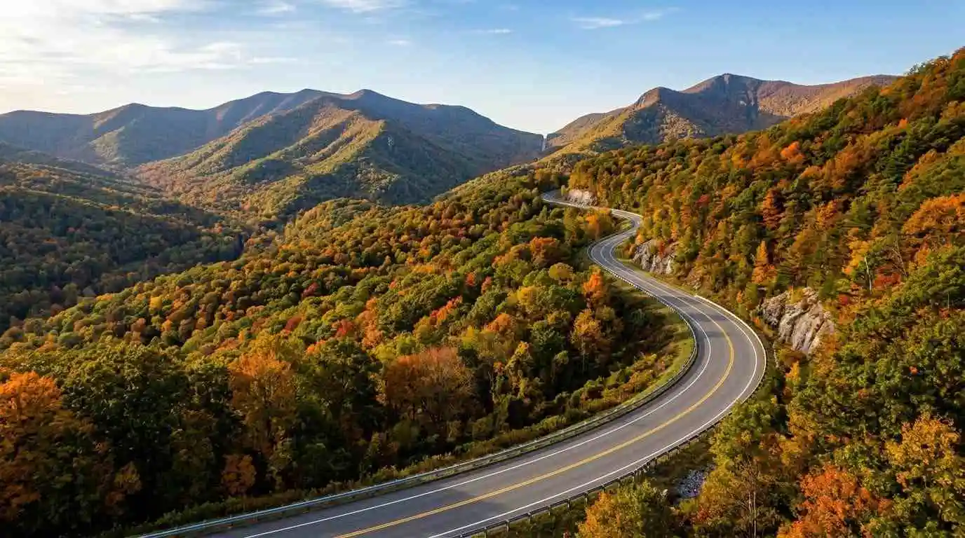
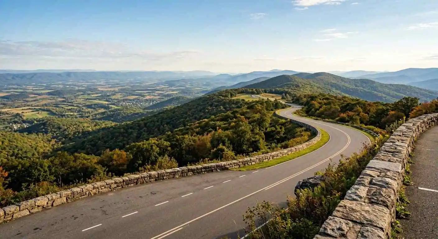
    Ascending the eastern and western slopes of the Blue Ridge Mountains between Sperryville and Luray, the Route 211 Thornton Gap motorcycle guide details one of northern Virginia’s premier dual-lane mountain pass routes. Serving as the primary east-west corridor crossing Shenandoah National Park at Thornton Gap, US Route 211 features wide, banked double lanes on uphill stretches, smooth asphalt, and continuous sweeping turns. Providing a safe, high-capacity mountain pass experience that directly intersects Skyline Drive, Route 211 is a favorite route for riders entering or exiting the national park.

    Key Riding Highlights & Route 211 Mountain Pass Conditions

    Navigating the dual-lane mountain grades and park entry intersections of US 211 requires specific pass management:

    • 1. Master Dual-Lane Uphill Sweepers:
      The ascent up both sides of Thornton Gap features two dedicated uphill lanes. This multi-lane layout provides excellent passing opportunities around slower vehicles, allowing riders to maintain smooth cornering lines and consistent momentum.
    • 2. Intersecting Traffic at Skyline Drive Thornton Gap Entrance:
      At the crest of the pass, US 211 intersects with the central entrance to Skyline Drive via Panhandle Road ramps. Expect sudden lane changes, slowing tourist vehicles, and pedestrians near the entrance station.
    • 3. Watch for Rapid Downgradient Speed Build-Up:
      Descending the western slope toward Luray involves continuous long grades. Manage brake heat by utilizing engine braking techniques down the steep mountain descent.
    • 4. Watch for Deer and Wildlife Crossing Open Slopes:
      Because US 211 cuts directly through national park terrain, deer and black bears frequently cross the four-lane cleared right-of-way, particularly near dusk and early morning hours.

    Before ascending dual-lane mountain passes, perform a thorough inspection using the complete pretrip motorcycle maintenance guide. Check cold tire pressure and tread depth for mountain curves with motorcycle tire pressure and tread maintenance for mountain curves and slick asphalt. If entering the central national park ridge at the pass crest, review skyline drive central section motorcycle guide.
    Conclusion: Northern Virginia’s Gateway Mountain Pass

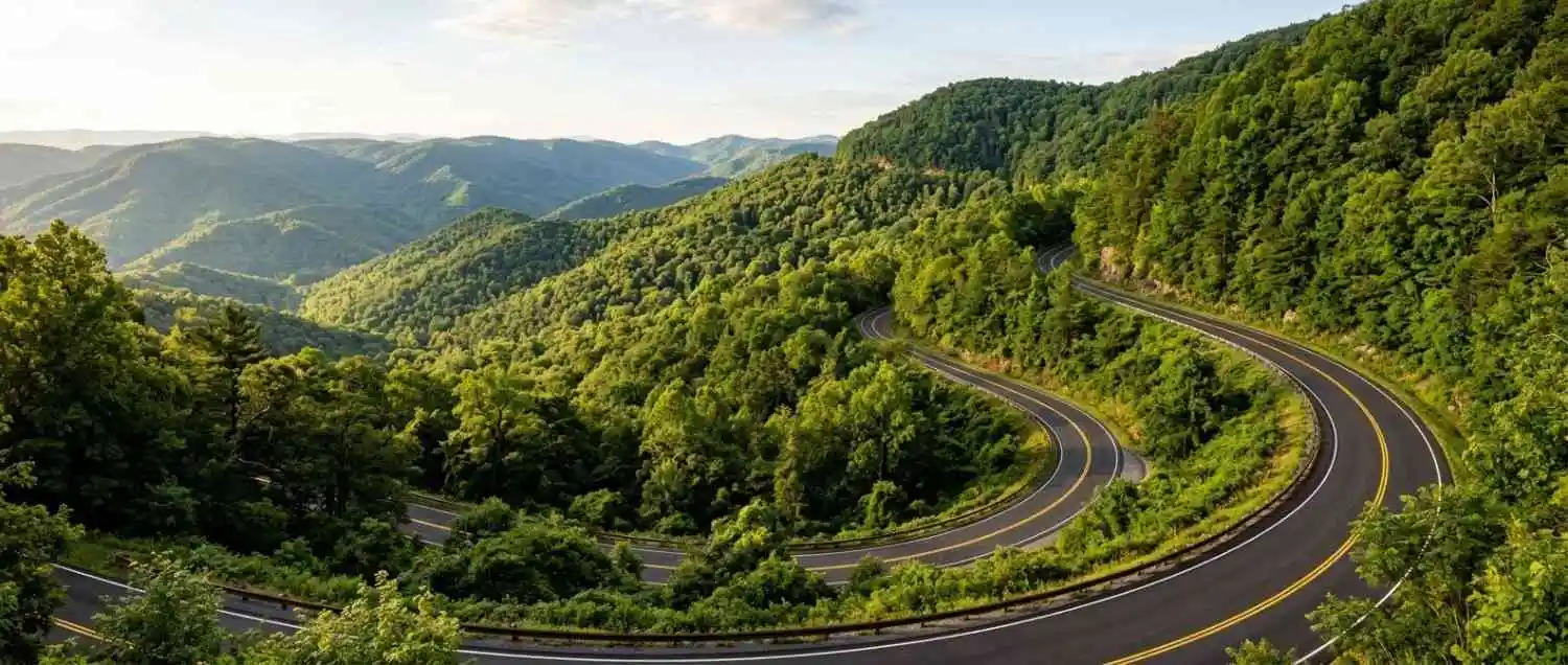
    Studying this Route 211 Thornton Gap motorcycle guide equips riders to safely experience one of the smoothest and most accessible mountain passes in the Mid-Atlantic. Blending wide dual-lane climbing turns with breathtaking mountain vistas, Route 211 is an essential connection for any Shenandoah motorcycle itinerary.

    Legal Disclaimer: This guide is provided for educational and route-planning purposes only. Always observe posted speed limits, manage downhill speeds, and ride within your capabilities.

    Official & Credible Sources


    Enjoyed This Guide? Explore Related Virginia Touring Resources:

    1. National Park Central Crest: Connect directly to parkway heights on skyline drive central section motorcycle guide.
    2. Valley Connectors: Tour regional backroads in luray and page county motorcycle ride guide.
    3. Pre-Trip Safety Inspection: Perform mechanical checks using the complete pretrip motorcycle maintenance guide.
    4. Tire Maintenance: Maintain rubber traction for mountain passes with motorcycle tire pressure and tread maintenance for mountain curves and slick asphalt.
    5. Southern Pass Connectors: Ride dual-lane climbs further south on us route 33 swift run gap motorcycle guide.

  • Skyline Drive Central Section Motorcycle Guide (2026)

    Skyline Drive Central Section Motorcycle Guide (2026)

    Traversing the highest elevations of Shenandoah National Park between Thornton Gap (US 211) and Swift Run Gap (US 33), the Skyline Drive Central Section motorcycle guide details the most visited stretch of Virginia’s iconic national scenic byway. Home to major park hubs such as Skyland Resort, Big Meadows, and Byrd Visitor Center, the Central Section features elevated ridge sweeps, stone overlook parapets, and unobstructed views of both the Shenandoah Valley and the Virginia Piedmont. Operating under a strictly enforced 35 mph speed limit, this section offers a relaxed, high-altitude mountain cruising environment.

    Key Riding Highlights & Central Section Conditions

    Navigating the elevated ridge corridors and visitor hubs of the Central Section requires attention to park regulations and wildlife:

    • 1. Maintain Enforced 35 MPH Park Speed Limit:
      The National Park Service strictly enforces a 35 mph speed limit throughout Skyline Drive. Designed for scenic touring and wildlife protection, maintaining this gentle pace allows riders to react safely to sudden stops at crowded overlooks.
    • 2. High Wildlife Density Near Big Meadows:
      The high-altitude meadows and hardwood forests around Milepost 50 support dense populations of whitetail deer, black bears, and wild turkeys. Animals frequently step onto the roadway without warning, particularly during dawn and dusk hours.
    • 3. High Visitor Traffic and Overlook Movements:
      As the busiest portion of the park, the Central Section experiences frequent vehicle slowdowns. Watch for sightseers pulling out unexpectedly from scenic overlooks and pedestrians crossing near trailheads and visitor lodges.
    • 4. Rapid Fog Accumulation on High Ridges:
      Elevations exceeding 3,500 feet along the Central Section are prone to sudden cloud caps and thick mountain fog. Keep low-beam headlights active, increase following distances, and utilize paved overlooks if visibility drops severely.

    Before ascending into high national park ridges, execute a complete mechanical pre-ride inspection using the complete pretrip motorcycle maintenance guide. Ensure correct cold tire pressure and tread grip for mountain asphalt with motorcycle tire pressure and tread maintenance for mountain curves and slick asphalt. If connecting from major mountain gaps, review us route 33 swift run gap motorcycle guide.
    Conclusion: The Crown Jewel of Shenandoah Heights

    Studying this Skyline Drive Central Section motorcycle guide equips riders with key insights to enjoy a memorable, serene tour across the peak ridges of Shenandoah National Park. Combining magnificent valley panoramas, rich park history, and gentle winding curves, the Central Section is a cornerstone of Virginia mountain touring.

    Legal Disclaimer: This guide is provided for educational and route-planning purposes only. Always observe posted national park speed limits, yield to wildlife, and exercise caution in low-visibility mountain conditions.

    Official & Credible Sources


    Enjoyed This Guide? Explore Related Virginia Touring Resources:

    1. Park Access Passes: Ride dual-lane climbs on us route 33 swift run gap motorcycle guide.
    2. Southern Skyline Drive: Tour the southern extension on skyline drive southern section motorcycle guide.
    3. Pre-Trip Safety: Inspect your motorcycle systems prior to park tours using the complete pretrip motorcycle maintenance guide.
    4. Tire Care: Maintain optimal inflation pressure for mountain ridges with motorcycle tire pressure and tread maintenance for mountain curves and slick asphalt.
    5. Valley Byway Corridors: Tour smooth valley highways on route 42 cumberland gap scenic byway motorcycle guide.

  • Snake Motorcycle Ride Route 421 Motorcycle Guide (2026)

    Snake Motorcycle Ride Route 421 Motorcycle Guide (2026)

    Crossing the rugged crest of Holston Mountain near the Virginia-Tennessee border, the Snake Motorcycle Ride Route 421 motorcycle guide details one of the Eastern Seaboard’s most iconic technical twisties. Featuring over 489 curves across three mountain ranges between Bristol, Virginia, and Mountain City, Tennessee, US Route 421 is famous for its relentless S-turns, sharp elevation changes, and dense forest canopies. Combining intense technical cornering with historic country stores like Shady Valley, “The Snake” is a benchmark ride for experienced sport and touring riders exploring the southern Appalachian highlands.

    Key Riding Highlights & US 421 Snake Conditions

    Navigating the 489 continuous mountain turns of US Route 421 requires high-level technical focus:

    • 1. Master Continuous Hairpins and Elevation Drops:
      Climbing Holston Mountain on US 421 involves rapid, tight switchbacks requiring precise trail braking and smooth throttle modulation. Keep eyes looking far into blind turn exits to maintain a consistent cornering line.
    • 2. Watch for Damp Asphalt Under Heavy Tree Canopy:
      The dense Appalachian forest overhanging US 421 blocks direct sunlight, meaning morning dew and rainfall moisture linger in turn apexes well into the afternoon. Smooth out lean angles on shaded corners.
    • 3. Pit Stop Safety at Shady Valley Country Store:
      Shady Valley serves as the central hub where the mountain loops converge. Exercise caution near the store intersection due to high motorcycle traffic, turning riders, and pedestrians near the roadway.
    • 4. Strict Lane Discipline on Narrow Guardrail Sections:
      Unforgiving rock faces and tight guardrail margins border many turns on US 421. Resist the urge to hug center lines on blind curves to avoid oncoming motorcycle or passenger car traffic.

    Before tackling 489 intense mountain turns, conduct a thorough mechanical pre-ride inspection using the complete pretrip motorcycle maintenance guide. Check cold tire pressure and tread depth for technical cornering with motorcycle tire pressure and tread maintenance for mountain curves and slick asphalt. If connecting to neighboring regional pass routes, review clinch mountain and route 80 motorcycle guide.

    Conclusion: The Ultimate Technical Mountain Twistie

    Studying this Snake Motorcycle Ride Route 421 motorcycle guide equips riders to safely conquer one of the region’s most challenging mountain passes. With endless S-curves, historic pit stops, and pure cornering rhythm, US 421 remains a bucket-list destination for technical motorcycle enthusiasts.

    Legal Disclaimer: This guide is provided for educational and route-planning purposes only. Always observe posted speed limits, manage cornering speeds through mountain passes, and ride within your capabilities.

    Official & Credible Sources


    Enjoyed This Guide? Explore Related Virginia Touring Resources:

    1. Border Ridge Passes: Climb technical switchbacks on clinch mountain and route 80 motorcycle guide.
    2. Technical Mountain Pass: Master 435 mountain turns on route 16 back of the dragon motorcycle guide.
    3. Pre-Trip Maintenance: Perform full brake and tire checks using the complete pretrip motorcycle maintenance guide.
    4. Tire Care: Maintain edge grip for continuous curves with motorcycle tire pressure and tread maintenance for mountain curves and slick asphalt.
    5. Valley Byway Corridors: Tour smooth agricultural highways on route 42 cumberland gap scenic byway motorcycle guide.

  • Route 42 Cumberland Gap Scenic Byway Motorcycle Guide (2026)

    Route 42 Cumberland Gap Scenic Byway Motorcycle Guide (2026)

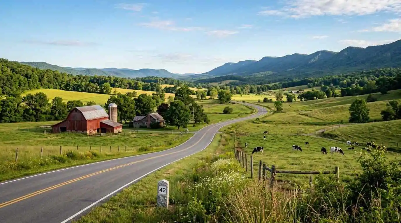
    Paralleling the major mountain ridges of western Virginia through quiet agricultural valleys, the Route 42 Cumberland Gap Scenic Byway motorcycle guide explores one of the Commonwealth’s most peaceful long-distance backroad arteries. Running parallel to Interstate 81 without the heavy commercial traffic, Virginia Route 42 connects historic rural communities across Craig, Giles, Bland, Smyth, and Tazewell counties. Featuring long, sweeping curves, gentle rolling mountain passes, historic wooden barns, and open pastoral views, Route 42 provides a relaxed, rhythmic alternative for cross-state touring riders.

    Key Riding Highlights & Route 42 Valley Conditions

    Navigating the pastoral valleys and rolling passes of Route 42 requires awareness of rural road characteristics:

    • 1. Smooth Sweeping Rhythm and Excellent Sightlines:
      Route 42 is celebrated for its wide, flowing curves that follow valley floors between mountain ridges. The gentle topography allows for effortless cruising and relaxed throttle modulation over long distances.
    • 2. Mind Agricultural Machinery and Cattle Crossings:
      Traversing active farming regions, Route 42 frequently sees slow-moving farm tractors, hay wagons, and livestock transport vehicles. Maintain conservative speeds around rural farm lane entrances.
    • 3. Watch for Early Morning Valley Fog and Damp Shaded Cuts:
      Cool air pooling in the low agricultural valleys often produces dense morning fog. Additionally, shaded mountain gaps along the route retain pavement moisture longer than open pasture stretches.
    • 4. Strategic Connectors to Major Mountain Passes:
      Route 42 serves as an ideal linking highway between major technical routes, connecting directly to Route 16 (Back of the Dragon), Route 39 (Goshen Pass), and Route 623 (Burkes Garden).

    Before setting out on extended valley byway tours, execute a full pre-ride mechanical check using the complete pretrip motorcycle maintenance guide. Ensure correct cold tire pressure and tread depth for mixed valley asphalt using motorcycle tire pressure and tread maintenance for mountain curves and slick asphalt. If connecting to neighboring technical pass routes, review route 16 back of the dragon motorcycle guide.

    Conclusion: The Peaceful Backbone of Western Virginia

    Studying this Route 42 Cumberland Gap Scenic Byway motorcycle guide arms riders with essential road knowledge to enjoy a serene, scenic journey across Virginia’s mountain valleys. Offering uninterrupted cornering rhythm, historic farm vistas, and prime regional connections, Route 42 is an essential staple of Appalachian touring.

    Legal Disclaimer: This guide is provided for educational and route-planning purposes only. Always observe posted speed limits, yield to farm machinery, and ride within your capabilities.

    Official & Credible Sources


    Enjoyed This Guide? Explore Related Virginia Touring Resources:

    1. Technical Mountain Pass Links: Experience 435 mountain turns on route 16 back of the dragon motorcycle guide.
    2. Valley Bowl Corridors: Tour secluded agricultural bowls on burkes garden motorcycle ride guide.
    3. Pre-Trip Maintenance: Perform full system checks before long tours using the complete pretrip motorcycle maintenance guide.
    4. Tire Maintenance: Optimize cold inflation pressure for smooth valley riding with motorcycle tire pressure and tread maintenance for mountain curves and slick asphalt.
    5. Canyon Byway Corridors: Explore coalfield gorge routes on breaks roaring plains and route 83 motorcycle guide.

  • Breaks Roaring Plains & Route 83 Motorcycle Guide (2026)

    Breaks Roaring Plains & Route 83 Motorcycle Guide (2026)

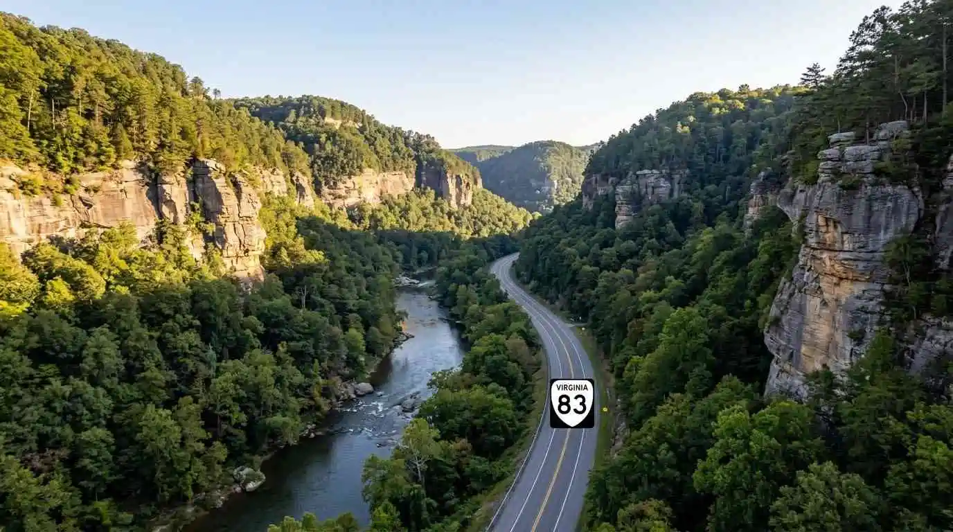
    Winding through the deep, dramatic coalfield canyons of Buchanan and Dickenson counties toward the Kentucky border, the Breaks Roaring Plains and Route 83 motorcycle guide covers one of the most rugged Appalachian routes in Virginia. Centered around Virginia Route 83 and providing direct access to Breaks Interstate Park—known as the “Grand Canyon of the South”—this corridor cuts through thousand-foot sandstone gorges carved by the Russell Fork River. Featuring tight cliffside turns, sweeping river valley curves, and rich regional coal heritage, Route 83 delivers a unique combination of technical cornering and majestic geological scenery.

    Key Riding Highlights & Route 83 Canyon Conditions

    Navigating the cliffside curves and coalfield highways of Route 83 requires specific road awareness:

    • 1. Carving the Sandstone Gorges Near Breaks Interstate Park:
      Approaching the park boundary on Route 83 and Route 80 features dramatic elevation changes and tight turns bounded by sheer rock bluffs. Enjoy sweeping views of the Russell Fork gorge while maintaining steady throttle control through blind curves.
    • 2. Watch for Coal Hauling Trucks and Commercial Transport:
      Route 83 is a key commercial artery for coalfield communities like Grundy and Vansant. Be prepared for slow-moving coal trucks on steep grades and maintain extra space when following heavy vehicles around narrow turns.
    • 3. Mind Loose Coal Dust and Gravel in Turn Apexes:
      Industrial transport along coalfield routes occasionally leaves fine coal dust or loose gravel near road shoulders and intersections. Reduce lean angles slightly on corners near active hauling access lanes.
    • 4. Sharp Moisture Retention in Deep River Canyons:
      Because the steep sandstone walls block direct sunlight in the deep river cuts, pavement near Russell Fork can remain cold and damp well into midday. Exercise care on shaded rock curves.

    Before venturing into remote coalfield canyons, perform a complete pre-ride mechanical inspection using the complete pretrip motorcycle maintenance guide. Check cold tire pressure and tread depth for mountain canyon asphalt with motorcycle tire pressure and tread maintenance for mountain curves and slick asphalt. If connecting to southern crest passes, review clinch mountain and route 80 motorcycle guide.

    Conclusion: The Grand Canyon of the South Byway

    Studying this Breaks Roaring Plains and Route 83 motorcycle guide arms riders with essential road insights to safely explore Virginia’s coalfield canyon country. Offering breathtaking sandstone gorge vistas, technical river curves, and rich cultural history, Route 83 is a highlight of any far-west Virginia tour.

    Legal Disclaimer: This guide is provided for educational and route-planning purposes only. Always observe posted speed limits, yield to commercial transport, and ride within your capabilities.

    Official & Credible Sources


    Enjoyed This Guide? Explore Related Virginia Touring Resources:

    1. Mountain Crest Passes: Climb technical switchbacks on clinch mountain and route 80 motorcycle guide.
    2. Valley Bowl Passes: Tour secluded mountain bowls on burkes garden motorcycle ride guide.
    3. Pre-Trip Safety: Inspect your motorcycle before canyon rides using the complete pretrip motorcycle maintenance guide.
    4. Tire Maintenance: Optimize rubber traction for shaded gorge asphalt with motorcycle tire pressure and tread maintenance for mountain curves and slick asphalt.
    5. Technical Mountain Pass: Experience 435 technical turns on route 16 back of the dragon motorcycle guide.