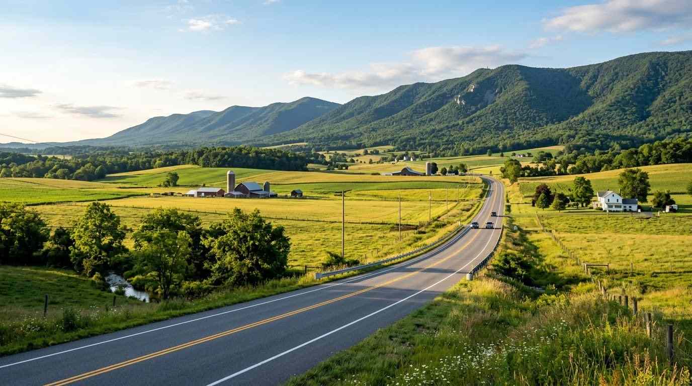
Set in the middle of the Shenandoah Valley, between the Blue Ridge Mountains to the east and the Allegheny ridges to the west, the Harrisonburg and Rockingham County motorcycle guide covers a flexible riding base. Harrisonburg is a lively university city, and Rockingham County surrounds it with farmland, small towns, and national forest roads. You can plan relaxed valley loops, a mountain climb over the Blue Ridge, or a quiet forest backroad day, all from the same starting point.
Key Riding Highlights in Harrisonburg and Rockingham County
1. Ride US Route 33 East to Swift Run Gap
US Route 33 leaves Harrisonburg heading east and climbs toward Swift Run Gap and the Skyline Drive entrance. Expect long climbing sections, wide curves, and passing zones, followed by a long descent on the far side. For details on the pass itself, read the US Route 33 Swift Run Gap motorcycle guide.
2. Cruise the Valley Curves on Route 42
Route 42 passes through western Rockingham County and offers smooth, flowing curves through farm country with open mountain views. Traffic is lighter than on the main highways, which makes it a good choice for an unhurried morning ride.
3. Explore Forest Backroads Toward Briery Branch
Heading west toward the George Washington National Forest, roads such as Route 257 become narrower and more shaded, with tighter curves and less room for error. Shade can keep the pavement damp, so reduce speed and ride with extra margin.
4. Combine Valley Loops with the Skyline Drive
Many riders pair a Rockingham County loop with a day on the parkway. If you want to continue north along the ridge, see the Skyline Drive central section motorcycle guide.
Safety Tips for Rockingham County Roads
Horse-Drawn Buggies and Farm Equipment
Parts of western Rockingham County are home to Old Order Mennonite communities, and horse-drawn buggies and slow farm equipment share the roads. Expect them around blind crests and curves, reduce speed over hills, and pass only when you have clear visibility.
Gravel and Mud at Farm Entrances
Rural entrances can leave gravel, mud, or hay on the road. Scan the pavement ahead, keep your lean angle conservative, and slow down well before turning farm lanes.
Damp, Shaded Forest Pavement
Forest roads dry slowly, especially in the morning and after rain. Use smooth throttle and brake inputs, and avoid hard braking in corners.
Prepare Before You Ride
Rural roads and mountain climbs both demand good tires, so review motorcycle tire pressure and tread maintenance for mountain curves and slick asphalt. Carry enough fuel, since services thin out quickly once you leave the main highways.
Conclusion: A Flexible Hub in the Central Shenandoah Valley
Harrisonburg and Rockingham County give riders valley cruising, a Blue Ridge crossing, and forest backroads within easy reach of each other. Watch for buggies, farm equipment, and damp shaded corners, plan your fuel, and ride within your limits for a varied and rewarding day.
Legal Disclaimer: This guide is provided for educational and route-planning purposes only. Always observe posted speed limits, yield to horse-drawn vehicles and farm equipment, and ride within your capabilities.
Official & Credible Sources
- Virginia Department of Transportation (VDOT), Road Conditions & Travel Updates: https://www.virginiadot.org
- U.S. Forest Service (USFS), George Washington & Jefferson National Forests: https://www.fs.usda.gov/gwj
- Shenandoah Valley Travel Association, Visitor Information: https://visitshenandoah.org
Enjoyed This Guide? Explore Related Virginia Touring Resources
- Neighboring Valley Hub: Compare the Route 250 Waynesboro to Staunton motorcycle guide.
- Massanutten Backroads: Try the Fort Valley and Massanutten Mountain motorcycle loop guide.
- Blue Ridge Crossing: Study the US Route 33 Swift Run Gap motorcycle guide.
- Park Ridge Ride: Continue on the Skyline Drive central section motorcycle guide.
- Alpine Highlands: Head west on the Highland County maple and mountain loop guide.
Leave a Reply