Author: LEDJ EDEL

  • Skyline Drive Northern Section Motorcycle Guide (2026)

    Skyline Drive Northern Section Motorcycle Guide (2026)

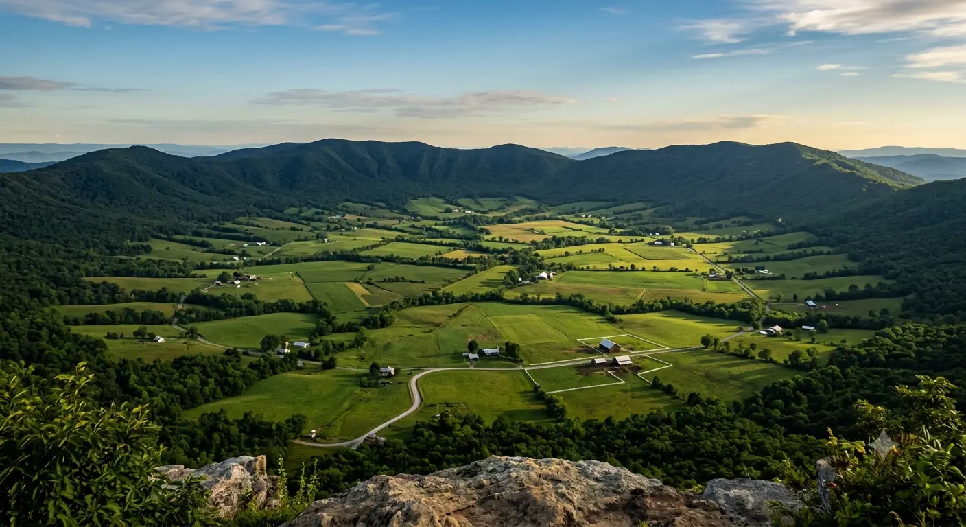
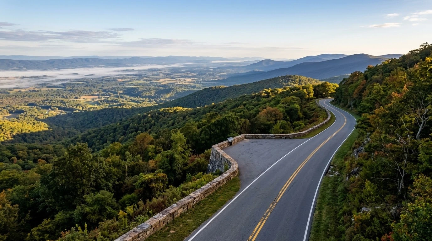
    Spanning the first 31.5 miles of Shenandoah National Park from Front Royal to Thornton Gap (US 211), the Skyline Drive Northern Section motorcycle guide covers one of Eastern North America’s most famous ridge-top touring highways. Designed specifically for scenic cruising, this historic national park road features gentle, sweeping curves, continuous valley overlooks, and dense forest canopies along the crest of the Blue Ridge Mountains. With a strictly enforced 35 mph speed limit, the northern district delivers a relaxed riding experience suited for taking in sweeping views of the Shenandoah Valley and Page Valley.

    Key Riding Highlights & Park Regulations

    Riding through a protected national park environment requires adherence to specific rules and heightened environmental awareness:

    • 1. Strictly Enforced 35 MPH Speed Limit:
      Skyline Drive is designed as a slow-paced national parkway. Federal park rangers monitor speed strictly to protect wildlife and visitors. Maintain a steady touring cadence and utilize paved overlooks to let faster traffic pass.
    • 2. High-Density Wildlife and Black Bear Activity:
      The northern section has one of the highest concentrations of whitetail deer and black bears in Virginia. Animals frequently cross the pavement near Dickey Ridge and Elkwallow. Scan shoulders constantly and avoid riding after dusk.
    • 3. Fee Stations and Park Entrance Passes:
      Entering the park requires a national park entrance fee or an America the Beautiful pass at the Front Royal Entrance Station. Prepare your payment before reaching the booth to minimize delays.
    • 4. Managing Overlook Pulloffs and Low-Speed Turnarounds:
      Dozens of scenic overlooks line the drive. Exercise caution when pulling in and out of parking areas, as gravel can accumulate at entry aprons and pedestrians often walk near turnouts.

    Before ascending the Blue Ridge crest, perform a complete pre-ride mechanical check using the complete pretrip motorcycle maintenance guide. Check tire inflation and tread condition for smooth national park asphalt with motorcycle tire pressure and tread maintenance for mountain curves and slick asphalt. To protect your bike during overlook stops and visitor center visits, review motorcycle anti-theft guide: best security practices for Virginia riders.

    Conclusion: Virginia’s Classic Ridge-Top Parkway

    Studying this Skyline Drive Northern Section motorcycle guide ensures a stress-free and scenic journey through Shenandoah National Park. With breathtaking mountain vistas, tranquil sweeping curves, and abundant natural beauty, the northern district of Skyline Drive remains an iconic centerpiece of Virginia touring.

    Legal Disclaimer: This guide is intended for travel planning and park reference only. Always obey federal national park regulations, observe posted speed limits, and yield to wildlife.

    Official & Credible Sources


    Enjoyed This Guide? Explore Related Virginia Touring Resources:

    1. Technical Curves: Experience 435 mountain turns on route 16 back of the dragon motorcycle guide.
    2. Valley Passages: Tour nearby Page Valley backroads in luray and page county motorcycle ride guide.
    3. Pre-Trip Safety: Inspect your motorcycle prior to park rides using the complete pretrip motorcycle maintenance guide.
    4. Tire Maintenance: Optimize tire pressure for mountain ridge touring with motorcycle tire pressure and tread maintenance for mountain curves and slick asphalt.
    5. Park Security: Secure your bike at overlook stops using motorcycle anti theft guide best security practices for virginia riders.
  • Route 16 Back of the Dragon Motorcycle Guide: VA Curves (2026)

    Route 16 Back of the Dragon Motorcycle Guide: VA Curves (2026)

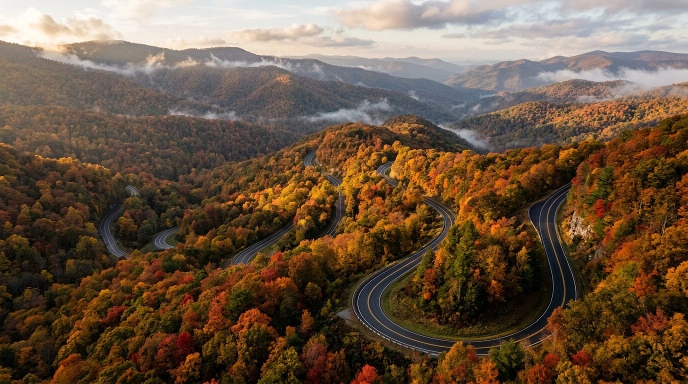
    Spanning 32 technical miles and crossing three distinct mountain ridges between Marion and Tazewell, Virginia Route 16—famously known as the “Back of the Dragon”—is one of the East Coast’s premier sport-touring corridors. Studying a dedicated Route 16 Back of the Dragon motorcycle guide gives riders essential tactics for conquering 435 continuous curves, steep elevation shifts, and tight hairpin switchbacks. Cutting through Clinch Mountain, Big A Mountain, and Brushy Mountain, this world-renowned route demands absolute focus, precise throttle control, and refined lean-angle discipline.

    Critical Riding Demands & Technical Road Characteristics

    Navigating this relentless succession of switchbacks requires advanced cornering techniques:

    • 1. Master Continuous Sightlines and Vision:
      With curves immediately flowing into counter-curves, looking far ahead into turn exits is paramount. Keep your eyes elevated and focused through the curve apex to set up the proper line for the subsequent turn.
    • 2. Trail Braking and Suspension Setup:
      The steep downhill switchbacks demand light, controlled front brake pressure into turn entries. Trail braking stabilizes the front fork, sharpens steering geometry, and maintains chassis poise across sudden elevation drops.
    • 3. Beware of Loose Gravel and Mountain Debris:
      Heavy rains and mountain runoff frequently wash loose gravel, sand, and leaves into tight apexes. Maintain a conservative entry speed and leave room to adjust your trajectory if surface traction deteriorates mid-turn.
    • 4. Mind Oncoming Traffic and Centerline Discipline:
      Due to narrow lane widths and blind crests, vehicles traveling in the opposite direction can occasionally drift over the yellow double lines. Stay centered in your lane and avoid hugging the inner centerline on blind turns.

    Before testing your technical skills on 435 curves, conduct a thorough inspection of your brake pads, tires, and suspension using the complete pretrip motorcycle maintenance guide. Optimize tire cold inflation pressure and tread depth for maximum edge grip with motorcycle tire pressure and tread maintenance for mountain curves and slick asphalt. If combining your ride with adjacent Tazewell County loops, review full itinerary details in burkes garden and tazewell county motorcycle loop guide.

    Conclusion: The Ultimate Virginia Curve Challenge

    Studying this Route 16 Back of the Dragon motorcycle guide equips riders to safely master Virginia’s most famous technical highway. With unmatched corner density, dramatic mountain scenery, and pure riding rhythm, the Back of the Dragon stands as a bucket-list destination for every motorcycle enthusiast.

    Legal Disclaimer: This guide is intended for travel planning and safety reference only. Always obey posted speed limits, ride within your individual capabilities, and exercise extreme caution on mountain switchbacks.

    Official & Credible Sources


    Enjoyed This Guide? Explore Related Virginia Touring Resources:

    1. Highland Loops: Ride alpine passes in “Virginia’s Switzerland” on highland county maple and mountain loop guide.
    2. Basin Passages: Tour nearby geological wonders in burkes garden and tazewell county motorcycle loop guide.
    3. Pre-Trip Safety: Inspect your brakes and controls prior to technical rides using the complete pretrip motorcycle maintenance guide.
    4. Tire Maintenance: Maximize rubber traction on technical switchbacks with motorcycle tire pressure and tread maintenance for mountain curves and slick asphalt.
    5. Southwest Corridors: Tour border-to-border routes in route 58 southwest virginia motorcycle ride guide.

  • Highland County Maple & Mountain Loop Guide: VA Scenic (2026)

    Highland County Maple & Mountain Loop Guide: VA Scenic (2026)

    Known across the region as “Virginia’s Switzerland,” the Highland County Maple and Mountain loop guide invites motorcyclists to explore the state’s highest average elevation county. Linking Monterey, McDowell, and Blue Grass via US Route 250, Route 220, and Route 84, this alpine loop delivers sweeping high-altitude passes, pristine maple sugar orchards, and breathtaking ridge-top vistas. Combining continuous elevation shifts with smooth asphalt and minimal traffic, Highland County offers one of the most rewarding mountain touring escapes in the Mid-Atlantic.

    Key Riding Highlights & Alpine Loop Demands

    Navigating the high-elevation terrain of Highland County requires preparation for mountain weather shifts and technical cornering:

    • 1. Master Technical Ascents on US Route 250:
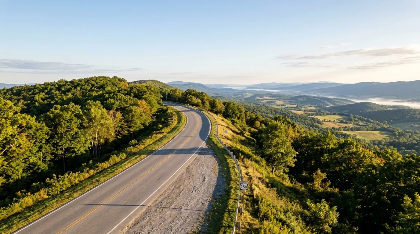
      Crossing Shenandoah Mountain and Allegheny Mountain on US 250 involves sustained steep climbs and continuous tight S-curves. Select lower gears before corner entry to keep engine power in its optimal torque band and avoid brake overheating on descents.
    • 2. Maple Sugar Farms and Rural Stopovers:
      During spring maple festival season and autumn foliage peaks, roadside sugar camps draw visitors along Route 220 and Route 84. Anticipate slow-turning vehicles entering farm driveways and ensure secure kickstand placement on unpaved pulloffs.
    • 3. Rapid Temperature Drops and Mountain Fog:
      Due to elevations exceeding 3,000 feet, temperatures in Highland County are significantly cooler than neighboring eastern valleys. Mountain passes frequently accumulate morning fog and lingering moisture in shaded forest sections.
    • 4. Watch for Free-Range Livestock and Wildlife:
      Highland County’s open valley pastures mean agricultural equipment, stray livestock, and whitetail deer are common backroad encounters. Maintain conservative entry speeds around blind farm bends.

    Before taking on high mountain passes, inspect your braking system and fluid levels using the complete pretrip motorcycle maintenance guide. Verify tire pressure and cold inflation levels for changing high-altitude temperatures with motorcycle tire pressure and tread maintenance for mountain curves and slick asphalt. If combining this loop with southern valley routes, review complete details in route 42 bath and highland counties motorcycle guide.

    Conclusion: The Pinnacle of Virginia Alpine Touring

    Studying this Highland County Maple and Mountain loop guide equips riders to confidently tackle Virginia’s premier high-altitude countryside. Delivering dramatic mountain landscapes, smooth cornering rhythm, and peaceful alpine atmosphere, Highland County is a cornerstone destination for backroad touring.

    Legal Disclaimer: This guide is provided for educational and route-planning reference only. Obey posted speed regulations, adjust for mountain weather changes, and ride within your capabilities.

    Official & Credible Sources


    Enjoyed This Guide? Explore Related Virginia Touring Resources:

    1. Valley Passages: Tour peaceful southern connectors in route 42 bath and highland counties motorcycle guide.
    2. Basin Loops: Experience high-elevation valley riding in burkes garden and tazewell county motorcycle loop guide.
    3. Pre-Trip Safety: Perform a full mechanical inspection using the complete pretrip motorcycle maintenance guide.
    4. Tire Maintenance: Optimize tread grip on cool mountain asphalt with motorcycle tire pressure and tread maintenance for mountain curves and slick asphalt.
    5. Canyon Routes: Tour neighboring river gorges in route 39 goshen pass motorcycle ride guide.

  • Burkes Garden & Tazewell County Motorcycle Loop Guide (2026)

    Burkes Garden & Tazewell County Motorcycle Loop Guide (2026)

    Known locally as “God’s Thumbprint” due to its unique oval mountain basin geology, the Burkes Garden and Tazewell County motorcycle loop guide introduces riders to one of Virginia’s most breathtaking agricultural valleys. Accessible via Route 623 over Garden Mountain, this high-elevation bowl in Southwest Virginia combines tight, technical mountain switchbacks on the descent with tranquil, sweeping farm lanes across the valley floor. Linking Tazewell, Burkes Garden, and nearby Back of the Dragon (Route 16) connectors, this loop delivers an exceptional mixture of technical riding and untouched rural scenery.

    Essential Riding Highlights & Basin Loop Conditions

    Navigating the steep mountain pass and high-elevation agricultural floor of Burkes Garden requires specific rider awareness:

    • 1. Technical Mountain Pass Descent on Route 623:
      Entering Burkes Garden requires climbing and descending Garden Mountain via narrow, continuous hairpins. Maintain proper lane discipline, keep eyes focused through turn exits, and manage rear brake modulation to maintain chassis balance on sharp downward grades.
    • 2. Agricultural Traffic and Farm Animal Awareness:
      The floor of Burkes Garden is an active, traditional farming community. Expect slow-moving tractors, cattle, horse-drawn buggies, and agricultural machinery entering from unpaved farm lanes without warning.
    • 3. Gravel Runoff and Unpaved Shoulder Hazards:
      Mountain storm runoff frequently washes loose gravel and mountain soil across turn apexes on Route 623. Maintain smooth lean angles and avoid abrupt braking on discolored asphalt patches.
    • 4. Limited Fuel and Services in the Basin:
      Because Burkes Garden is a preserved rural community, commercial fueling stations are non-existent inside the valley bowl. Top off your fuel tank in Tazewell before taking on the mountain pass.

    Before ascending high-elevation passes, inspect your front and rear braking systems using the complete pretrip motorcycle maintenance guide. Check tire pressures and tread depth for mountain curves with motorcycle tire pressure and tread maintenance for mountain curves and slick asphalt. If combining your loop with adjacent Southwest Virginia highways, review route tips in route 58 southwest virginia motorcycle ride guide.

    Conclusion: A Landmark Appalachian Valley Experience

    Studying this Burkes Garden and Tazewell County motorcycle loop guide prepares riders to safely experience one of Southwest Virginia’s true hidden treasures. Offering thrilling ridge switchbacks, serene valley sweeping lanes, and unmatched natural geography, this loop is an essential highlight for Appalachian touring riders.

    Legal Disclaimer: This guide is provided for travel planning and route reference purposes only. Ride within your ability, obey posted speed limits, yield to farm machinery, and respect private agricultural land.

    Official & Credible Sources


    Enjoyed This Guide? Explore Related Virginia Touring Resources:

    1. Southwest Corridors: Tour border-to-border routes in route 58 southwest virginia motorcycle ride guide.
    2. Canyon Routes: Experience dramatic river gorge bends in route 39 goshen pass motorcycle ride guide.
    3. Pre-Trip Safety: Perform complete mechanical checks using the complete pretrip motorcycle maintenance guide.
    4. Tire Maintenance: Optimize rubber traction on mountain switchbacks with motorcycle tire pressure and tread maintenance for mountain curves and slick asphalt.
    5. Valley Passages: Ride quiet rural valleys in route 42 bath and highland counties motorcycle guide.

  • Route 39 Goshen Pass Motorcycle Ride Guide: Virginia Gap (2026)

    Route 39 Goshen Pass Motorcycle Ride Guide: Virginia Gap (2026)

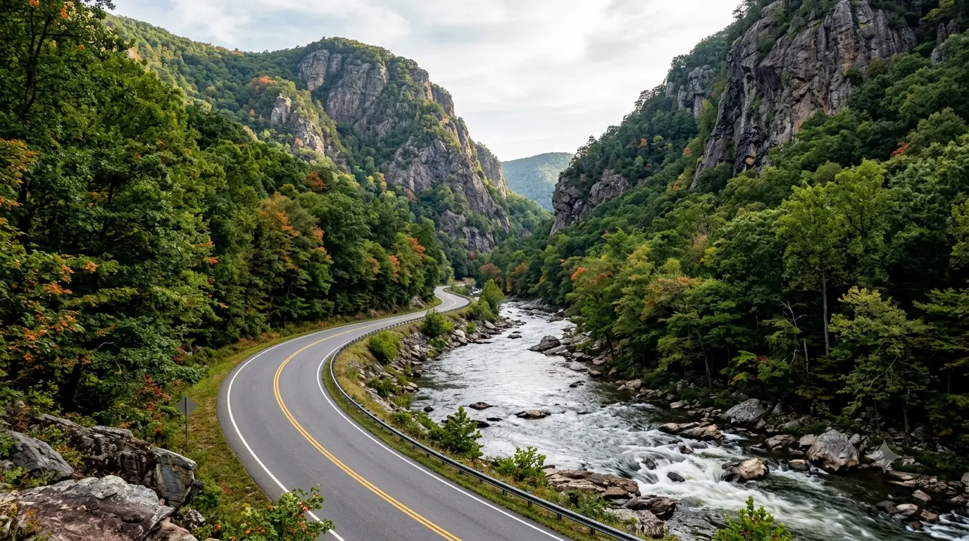
    Cutting through a dramatic three-mile mountain gorge carved by the Maury River in Rockbridge County, Virginia Route 39 through Goshen Pass is one of the state’s most celebrated motorcycle backroads. Studying a complete Route 39 Goshen Pass motorcycle ride guide prepares riders for sweeping riverside curves, towering quartzite cliffs, and dense rhododendron thickets. Connecting Lexington and Rockbridge Baths with Warm Springs in Bath County, this scenic mountain corridor offers an ideal blend of technical cornering rhythm and pristine wilderness views.

    Essential Riding Highlights & Gorge Conditions

    Navigating the sharp turns and shaded asphalt of Route 39 requires specific mountain canyon awareness:

    • 1. Managing River-Damp Asphalt and Shadowed Apexes:
      Because the steep gorge walls block direct sunlight throughout much of the day, road moisture and river dampness can linger on turns long after high noon. Adjust lean angles and smooth out throttle application in heavily shaded curves.
    • 2. Watch for Gravel and Rockfall Hazards:
      High rock bluffs border the northern shoulder of Route 39. Thermal shifts and rainfall can dislodge small gravel and river stones onto the road apex. Maintain a protective line away from the inner rock face.
    • 3. Scenic Wayside Pulloff Caution:
      Goshen Pass features several popular riverfront pull-offs where swimmers, kayakers, and hikers park. Anticipate slow-moving passenger traffic, opening doors, and pedestrians crossing the asphalt near popular river access points.
    • 4. Seamless Connection to Mountain Ridge Passes:
      Route 39 continues west into Bath County, offering direct connections to high-elevation routes like Route 42 and US Route 220, making it a natural anchor for multi-county mountain tours.

    Before attempting canyon and mountain gap routes, inspect your motorcycle’s braking system using the complete pretrip motorcycle maintenance guide. Check tire pressures and rubber condition for damp, shaded asphalt with motorcycle tire pressure and tread maintenance for mountain curves and slick asphalt. If exploring other regional water gap routes, review insights in james river gorge motorcycle ride guide.

    Conclusion: A Benchmark Mountain Water Gap Ride

    Studying this Route 39 Goshen Pass motorcycle ride guide arms riders with the knowledge needed to safely navigate one of Western Virginia’s most stunning river canyons. Offering rich natural beauty, technical twisties, and historical appeal, Goshen Pass remains a must-ride destination for Appalachian touring enthusiasts.

    Legal Disclaimer: This guide is provided for educational and route-planning purposes only. Always observe posted speed limits, adjust speed for moisture conditions, and ride within your capabilities.

    Official & Credible Sources


    Enjoyed This Guide? Explore Related Virginia Touring Resources:

    1. Rockbridge Loops: Tour nearby limestone arch routes in natural bridge and rockbridge county motorcycle loop.
    2. Water Gap Routes: Experience river canyon riding in james river gorge motorcycle ride guide.
    3. Pre-Trip Inspection: Perform a complete pre-ride mechanical check using the complete pretrip motorcycle maintenance guide.
    4. Tire Maintenance: Optimize tread traction on shaded canyon roads with motorcycle tire pressure and tread maintenance for mountain curves and slick asphalt.
    5. Valley Connectors: Explore peaceful rural valleys on route 42 bath and highland counties motorcycle guide.

  • Eastern Shore & Assateague Motorcycle Ride Guide: VA Coast (2026)

    Eastern Shore & Assateague Motorcycle Ride Guide: VA Coast (2026)

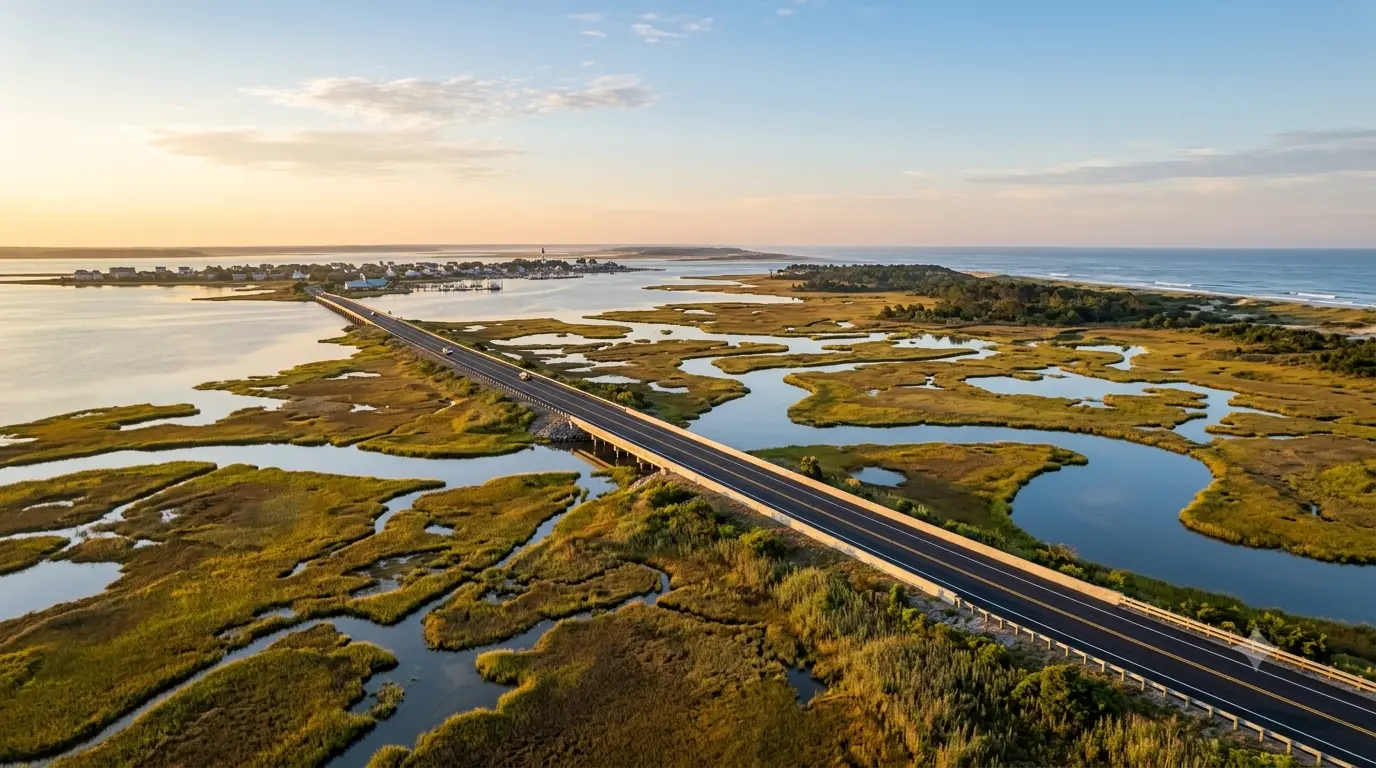
    Stretching along the narrow peninsula between the Atlantic Ocean and the Chesapeake Bay, the Eastern Shore & Assateague motorcycle ride guide offers riders an unforgettable Atlantic coastal touring experience. Following US Route 13 and Route 175 out to Chincoteague and Assateague Island National Seashore, this corridor combines long, open highway sweeps, coastal marshland causeways, and maritime wildlife refuges. Featuring flat topography and ocean breezes, the Eastern Shore provides a serene coastal journey anchored by historic watermen villages and pristine coastal wildlife preserves.

    Crucial Coastal Riding Conditions & Wildlife Hazards

    Navigating Virginia’s Atlantic coastal barrier islands requires attention to wildlife encounters and maritime weather factors:

    • 1. Wild Pony and Wildlife Crossings on Assateague Island:
      The Assateague Island National Seashore and Chincoteague National Wildlife Refuge are home to wild ponies, deer, and migratory waterfowl. Riders must maintain strict adherence to low speed limits and scan roadside brush continuously.
    • 2. Crosswind Management on Causeways and Bridges:
      Crossing open salt marshes along Route 175 and traversing the Chesapeake Bay Bridge-Tunnel (US 13) subjects motorcycles to severe coastal crosswinds. Maintain steady throttle input, lower your torso profile, and keep a strong lane position.
    • 3. Managing Salt Fog and Visor Residue:
      Ocean spray and humid saline fog can coat helmet visors and mirrors with a thin salt film. Carry micro-fiber cleaning towels and keep windshield surfaces treated to maintain visual clarity during early morning rides.
    • 4. Tidal Flooding and Roadside Sand Accumulation:
      High tides and coastal storms can wash seawater and fine white sand across causeway asphalt. Avoid sharp lean angles or heavy front braking on discolored or sand-covered road patches near coastal inlets.

    Before embarking on coastal ocean trips, inspect your tire tread depth and electrical system using the complete pretrip motorcycle maintenance guide. Check tire pressures and rubber condition for wet coastal asphalt with motorcycle tire pressure and tread maintenance for mountain curves and slick asphalt. If exploring other Virginia coastal peninsulas, review route details in northern neck motorcycle coastal loop guide.

    Conclusion: Virginia’s Premier Atlantic Coastal Passage

    Studying this Eastern Shore & Assateague motorcycle ride guide arms riders with essential planning insights for exploring Virginia’s easternmost frontier. With vast marine horizons, unique coastal habitats, and smooth peninsula cruising, the Eastern Shore ride is an essential bucket-list coastal route.

    Legal Disclaimer: This guide is provided for informational and route-planning reference only. Obey posted wildlife reserve speed limits, respect protected habitats, and monitor local bridge wind advisories.

    Official & Credible Sources


    Enjoyed This Guide? Explore Related Virginia Touring Resources:

    1. Peninsula Loops: Explore the Rappahannock tidewater on northern neck motorcycle coastal loop guide.
    2. Valley Connectors: Tour central Virginia farmland routes in wintergreen to nellysford motorcycle backroads guide.
    3. Pre-Trip Safety: Inspect your machine before long coastal rides using the complete pretrip motorcycle maintenance guide.
    4. Tire Maintenance: Optimize tread grip and pressure for coastal humidity with motorcycle tire pressure and tread maintenance for mountain curves and slick asphalt.
    5. Mountain Pass Climbs: Master steep high-elevation curves on route 664 reeds gap motorcycle guide.