Author: LEDJ EDEL

  • Route 606 Rappahannock County Backroads Guide (2026)

    Route 606 Rappahannock County Backroads Guide (2026)

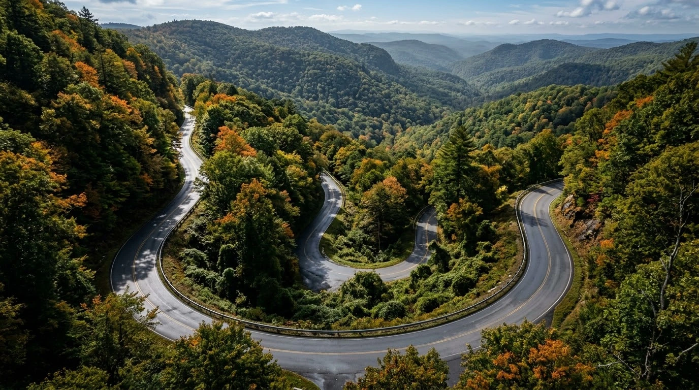
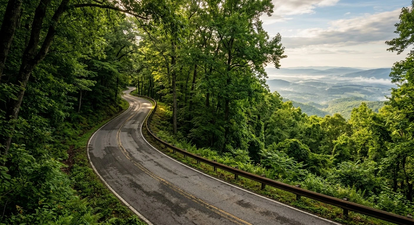
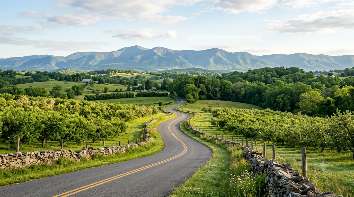
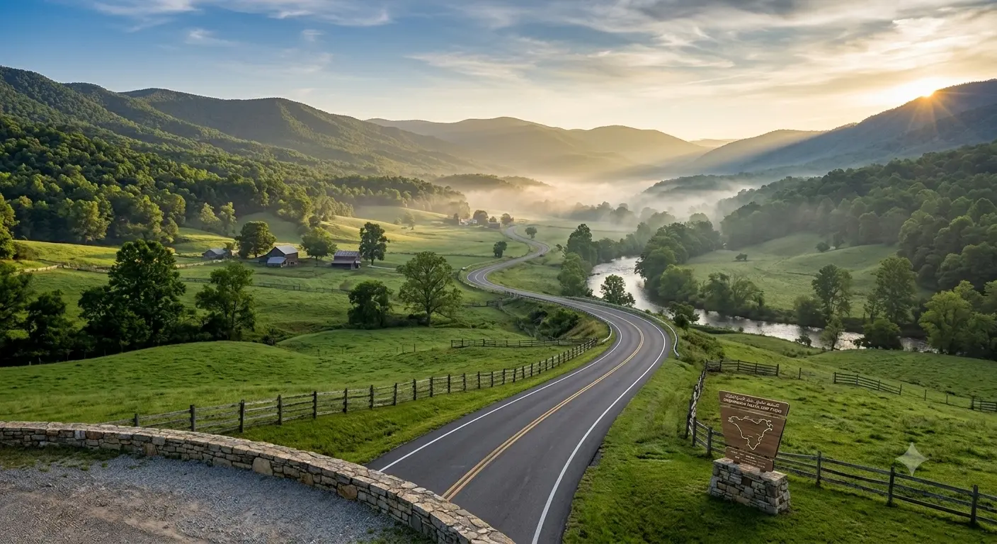
    Tucked against the eastern foothills of Shenandoah National Park, Route 606 in Rappahannock County is one of Northern Virginia’s most charming rural backroad connectors. Reading a thorough Route 606 Rappahannock County backroads guide helps riders prepare for narrow asphalt ribbons, blind crests, rolling orchard vistas, and sharp technical turns. Serving as an scenic link near Washington and Sperryville, Route 606 provides an intimate, low-traffic riding experience through historic farmland and forest corridors.

    Crucial Features of Rappahannock Backroad Touring

    Navigating the rustic characteristics of Route 606 requires heightened attention to rural road dynamics:

    • 1. Narrow Pavement and Unmarked Shoulders:
      Route 606 is a classic Virginia country lane featuring narrow lanes without centerlines in several stretches. Riders must maintain lane position, manage corner entry speeds, and anticipate oncoming local traffic around blind turns.
    • 2. Orchard and Farm Driveway Hazards:
      Passing through active agricultural land and apple orchards, riders should watch for farm vehicles turning onto the road, as well as agricultural runoff, mud, or fallen apples on the asphalt during harvest season.
    • 3. Managing Gravel Transitions and Side Roads:
      Intersecting secondary gravel lanes can deposit loose stones across the paved line. Maintain a smooth line and avoid harsh front braking when crossing gravel patches near rural intersections.
    • 4. Abundant Wildlife Activity in Shenandoah Foothills:
      The dense canopy and bordering forest edges host significant whitetail deer populations. Extra caution is recommended during early morning and evening hours when wildlife movement is highest.

    Before embarking on narrow foothills routes, inspect your brake pads and fluid responsiveness using the complete pretrip motorcycle maintenance guide. Check tire pressures and rubber condition for low-traction rural surfaces with motorcycle tire pressure and tread maintenance for mountain curves and slick asphalt. If combining backroad loops with national park routes, review animal awareness strategies in deer collision avoidance guide for Virginia motorcyclists.

    Conclusion: A Classic Virginia Foothills Escape

    Studying this Route 606 Rappahannock County backroads guide empowers riders to safely explore one of the region’s finest hidden gems. Offering serene landscapes, technical cornering, and quiet countryside atmosphere, Route 606 is a prime choice for backroad enthusiasts.

    Legal Disclaimer: This guide is provided for informational and route reference purposes only. Ride within your ability, obey posted speed guidance, and respect private property along rural corridors.

    Official & Credible Sources


    Enjoyed This Guide? Explore Related Virginia Touring Resources:

    1. Southwest Highways: Ride long mountain curves on route 58 southwest virginia motorcycle ride guide.
    2. Highland Valleys: Explore peaceful rural touring in route 42 bath and highland counties motorcycle guide.
    3. Pre-Trip Safety: Complete your pre-ride mechanical check using the complete pretrip motorcycle maintenance guide.
    4. Tire Maintenance: Maintain rubber grip across gravel patches with motorcycle tire pressure and tread maintenance for mountain curves and slick asphalt.
    5. Wildlife Hazards: Avoid deer collisions on rural foothill roads using deer collision avoidance guide for virginia motorcyclists.
  • Route 58 Southwest Virginia Motorcycle Ride Guide (2026)

    Route 58 Southwest Virginia Motorcycle Ride Guide (2026)

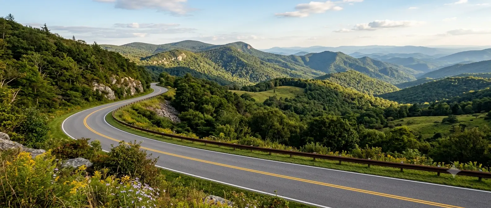
    Spanning across the southernmost border of the state, Virginia Route 58 through Southwest Virginia offers one of the most diverse long-distance motorcycle touring routes in the region. Reading a comprehensive Route 58 Southwest Virginia motorcycle ride guide helps riders navigate dramatic mountain passes near Mount Rogers, sweeping valley twists through Galax and Hillsville, and rich heritage stops along “The Crooked Road.” Whether exploring tight elevation bends or enjoying open highland vistas, Route 58 provides a thrilling mix of technical riding and authentic Appalachian culture.

    Key Highlights & Road Characteristics of Route 58

    Understanding the unique terrain and regional segments along Route 58 ensures a safe and memorable journey:

    • 1. Mount Rogers and Grayson Highlands Elevation Passes:
      The high-altitude stretch near Whitetop and Troutdale brings rapid elevation changes, cooler temperatures, and tight sweeping turns. Watch for sudden weather shifts, lingering mountain fog, and damp pavement in shaded timber zones.
    • 2. The Crooked Road Heritage Corridor:
      Route 58 forms a major section of Virginia’s Music Heritage Trail. Riders pass historic venues, bluegrass jam sites, and local artisan shops in towns like Damascus, Marion, and Galax, making it ideal for cultural stopovers.
    • 3. Managing Freight and Agricultural Traffic:
      As a key arterial highway in Southwest Virginia, certain segments carry log trucks, agricultural equipment, and commercial traffic. Maintain generous following distances and execute passes only on designated straightaways with clear sightlines.
    • 4. Cornering Safety and Surface Variations:
      While major portions of Route 58 feature smooth, wide asphalt, rural connectors and secondary spurs near county lines may contain loose gravel or agricultural runoff after rainstorms.

    Before setting out on long Southwest Virginia tours, ensure your tires are properly inflated and inspected using motorcycle tire pressure and tread maintenance for mountain curves and slick asphalt. Verify that your electrical system is fully functional for mountain climate changes with motorcycle battery care and troubleshooting in cold and hot weather touring. Additionally, prepare your luggage payload for stability through elevation turns using motorcycle luggage packing and weight distribution for mountain stability.

    Conclusion: A Landmark Southwest Virginia Highway

    Studying this Route 58 Southwest Virginia motorcycle ride guide arms riders with the insights needed to explore this iconic border-to-border route. Delivering dramatic scenery, mountain twisties, and rich musical heritage, Route 58 is a bucket-list highway for Appalachian touring enthusiasts.

    Legal Disclaimer: This guide is intended for travel planning and route reference only. Always obey legal speed limits, exercise caution around heavy farm/log truck traffic, and ride within your limits.

    Official & Credible Sources


    Enjoyed This Guide? Explore Related Virginia Touring Resources:

    1. Valley Backroads: Explore peaceful rural connectors in route 42 bath and highland counties motorcycle guide.
    2. Mountain Pass Routes: Experience steep technical climbs on route 311 potts mountain motorcycle guide.
    3. Luggage Packing: Balance long-distance loads for mountain bends using motorcycle luggage packing and weight distribution for mountain stability.
    4. Tire Maintenance: Check tread depth before high-elevation runs with motorcycle tire pressure and tread maintenance for mountain curves and slick asphalt.
    5. Battery Health: Prepare your bike for high-altitude cold starts using motorcycle battery care and troubleshooting in cold and hot weather touring.

  • Route 42 Bath & Highland Counties Motorcycle Guide (2026)

    Route 42 Bath & Highland Counties Motorcycle Guide (2026)

    Stretching along the quiet valleys of Virginia’s Western Highlands, Route 42 through Bath and Highland Counties provides one of the state’s most tranquil rural touring corridors. Reading a dedicated Route 42 Bath and Highland Counties motorcycle guide prepares riders for sweeping valley curves, open farmland vistas, and gentle elevation shifts. Connecting Millboro Springs, Warm Springs, and Monterey, this scenic highway offers a peaceful alternative to heavier mountain passes while still delivering prime asphalt and rich historic stopovers.

    Essential Riding Features of Route 42

    Discover the key characteristics that make Route 42 a favorite among touring motorcyclists:

    • 1. Sweeping Valley Asphalt and River Crossings:
      Unlike tight mountain switchbacks, Route 42 features wide, sweeping curves following river bends and valley floors. This allows for smooth, relaxed cornering rhythm and excellent sightlines through rural countryside.
    • 2. Historic Mineral Springs and Heritage Towns:
      Passing through historic towns like Warm Springs and Monterey—known as “Virginia’s Switzerland”—riders can stop at classic inns, local diners, and historic mineral spring sites without leaving the main route.
    • 3. Seasonal Agricultural Traffic Awareness:
      As Route 42 cuts through active livestock and farming country, riders should stay alert for farm equipment entering from unpaved driveways, as well as occasional cattle or deer crossing open pasture borders.
    • 4. Ideal Connector to Major Mountain Gaps:
      Route 42 seamlessly links riders to high-altitude routes like US Route 250 in Monterey and US Route 220 in Bath County, making it a natural centerpiece for multi-day Highland County loops.

    Before departing on long valley touring rides, check your tire pressures and tread depth using motorcycle tire pressure and tread maintenance for mountain curves and slick asphalt. Ensure your electrical system supports heated gear during cool mountain morning starts with motorcycle battery care and troubleshooting in cold and hot weather touring. If planning an extended trip across the Allegheny Highlands, review full route options in Route 220 motorcycle guide: Virginia’s scenic mountain ride.

    Conclusion: Scenic Rural Touring at Its Best

    Exploring this Route 42 Bath and Highland Counties motorcycle guide unlocks a memorable ride through Virginia’s pristine pastoral valleys. With smooth curves, historic landmarks, and low traffic volume, Route 42 is an essential addition to any Highland County touring itinerary.

    Legal Disclaimer: This guide is intended for travel planning and touring reference only. Always obey posted speed limits, yield to agricultural vehicles, and ride within your skill level.

    Official & Credible Sources


    Enjoyed This Guide? Explore Related Virginia Touring Resources:

    1. Regional Connectors: Combine Route 42 with mountain passes in route 220 motorcycle guide virginias scenic mountain ride.
    2. Mountain Pass Rides: Test steep incline curves on route 311 potts mountain motorcycle guide.
    3. Tire Maintenance: Optimize tread grip for rural backroads using motorcycle tire pressure and tread maintenance for mountain curves and slick asphalt.
    4. Battery Health: Maintain reliable starting power in high mountain valleys with motorcycle battery care and troubleshooting in cold and hot weather touring.
    5. Pre-Trip Checklist: Inspect brakes and fluids prior to departure using the complete pretrip motorcycle maintenance guide.

  • Route 311 Potts Mountain Motorcycle Guide: Virginia Pass

    Route 311 Potts Mountain Motorcycle Guide: Virginia Pass

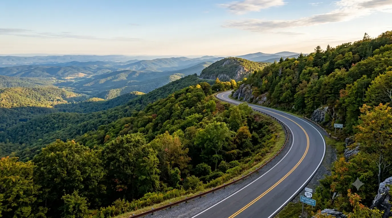
    Crossing the rugged border between Roanoke and Craig Counties, Virginia Route 311 over Potts Mountain is a premier mountain pass for touring motorcyclists. Reviewing a complete Route 311 Potts Mountain motorcycle guide helps riders prepare for long, sweeping ascents, sharp hairpin turns, and unpredictable mountain weather. Connecting Salem and Newcastle before extending toward West Virginia, this high-elevation highway delivers exceptional ridge-top views combined with smooth, thrilling pavement contours.

    Key Riding Highlights & Mountain Pass Attributes

    Understanding the physical profile and road conditions of Route 311 ensures a rewarding journey:

    • 1. Navigating High-Elevation Incline Changes:
      Climbing Potts Mountain requires steady throttle management and clean gear selection. Downshifting before steep uphill corners maintains engine torque and prevents bogging down mid-turn.
    • 2. Managing Thermal Shifts and Mountain Moisture:
      The mountain pass frequently experiences temperature drops and localized fog, particularly near the mountain crest overlooking the Craig Valley. Wet leaves and shade-covered moisture can linger on morning apexes.
    • 3. Watch for Scenic Overlook Pulloffs:
      Near the top of Potts Mountain, scenic pull-offs offer panoramic vistas of the Jefferson National Forest. Exercise caution when slowing down to park, as gravel accumulates along gravel pull-off shoulders.
    • 4. Beware of Wildlife along Forested Corridors:
      Route 311 cuts through vast timberlands within the George Washington & Jefferson National Forests. Whitetail deer and black bears frequently cross the asphalt during early morning and late afternoon hours.

    Before taking on high mountain elevations, inspect your tires for proper tread depth using motorcycle tire pressure and tread maintenance for mountain curves and slick asphalt. Ensure your braking system handles sustained downhill runs with the complete pretrip motorcycle maintenance guide. If continuing your ride through rural forest gaps, review animal hazard protocols in deer collision avoidance guide for Virginia motorcyclists.

    Conclusion: An Essential Virginia Mountain Pass

    Studying this Route 311 Potts Mountain motorcycle guide equips riders to handle one of Craig County’s most majestic highways. With sweeping mountain curves, forest views, and rewarding elevation climbs, Route 311 is a cornerstone of Western Virginia touring.

    Legal Disclaimer: This guide is provided for educational and route planning purposes. Always obey legal speed limits, monitor local road alerts, and ride within your personal capabilities.

    Official & Credible Sources


    Enjoyed This Guide? Explore Related Virginia Touring Resources:

    1. Technical Roads: Test your skills on tighter twisties in rattlesnake trail motorcycle ride guide.
    2. Mountain Descents: Ride neighboring Nelson County passes in wintergreen to nellysford motorcycle backroads guide.
    3. Pre-Trip Check: Verify brake and fluid readiness before mountain passes with the complete pretrip motorcycle maintenance guide.
    4. Tire Maintenance: Maintain rubber traction on elevation curves using motorcycle tire pressure and tread maintenance for mountain curves and slick asphalt.
    5. Wildlife Awareness: Avoid deer encounters along forest corridors with deer collision avoidance guide for virginia motorcyclists.
  • Rattlesnake Trail Motorcycle Ride Guide: Virginia Backroads (2026)

    Rattlesnake Trail Motorcycle Ride Guide: Virginia Backroads (2026)

    Famous among local riders for its sharp, serpent-like turns and steep elevation shifts, the Rattlesnake Trail offers one of the most technical backroad riding experiences in Western Virginia. Studying a complete Rattlesnake Trail motorcycle ride guide provides critical insights on throttle control, lean angles, and asphalt hazards before taking on this demanding stretch. Tucked deep into the mountain ridges, this route tests the skills of experienced riders with rapid left-right transitions, blind crests, and narrow lane widths that demand full concentration.

    Technical Riding Demands & Road Characteristics

    Navigating this serpentine route requires sharp visual discipline and refined mechanical control:

    • 1. Master Smooth Throttle and Trail Braking:
      The continuous succession of tight turns leaves very little time to set up between curves. Using light trail braking into turn entries stabilizes the front fork, while smooth throttle application prevents rear wheel slippage on tight exits.
    • 2. Scan for Loose Gravel and Mountain Debris:
      Because the Rattlesnake Trail cuts through heavily forested terrain, runoff from summer storms frequently deposits loose gravel, twigs, and leaf litter across turn apexes. Maintain a wide turn entry to spot surface hazards early.
    • 3. Stay Disciplined on Blind Corners:
      Many turns feature rock faces or dense trees right along the fog line, completely obscuring oncoming traffic. Resist the urge to cut apexes short; stay centered in your lane to preserve an escape route if an oncoming vehicle crosses the yellow line.
    • 4. Monitor Brake Fluid and Thermal Fade:
      The combination of aggressive braking and downhill grades builds substantial heat in your braking system. Ensure your brake pads have ample thickness and fluid is fresh to prevent lever sponge under hard mountain use.

    Before testing your skills on technical switchbacks, inspect your front and rear brake system using the complete pretrip motorcycle maintenance guide. Ensure your tires have proper tread depth and cold inflation pressures with motorcycle tire pressure and tread maintenance for mountain curves and slick asphalt. If you plan to ride in a group, review single-file cornering rules in motorcycle group riding safety and hand signals guide.

    Conclusion: A Thrilling Test of Technical Skill

    Reviewing this Rattlesnake Trail motorcycle ride guide arms riders with the knowledge needed to tackle one of Virginia’s most twisting mountain routes. With precise cornering, disciplined speed management, and proper machine preparation, the Rattlesnake Trail delivers an unforgettable thrill for technical motorcycle enthusiasts.

    Legal Disclaimer: This guide is provided for educational and route planning purposes only. Always ride within your individual skill level, obey posted speed regulations, and maintain complete control of your vehicle.

    Official & Credible Sources


    Enjoyed This Guide? Explore Related Virginia Touring Resources:

    1. Nearby Backroads: Explore neighboring technical descents in wintergreen to nellysford motorcycle backroads guide.
    2. Classic Loops: Combine your ride with famous regional circuits in devils backbone loop motorcycle ride guide.
    3. Tire Care: Maintain peak rubber grip on mountain switchbacks using motorcycle tire pressure and tread maintenance for mountain curves and slick asphalt.
    4. Maintenance Prep: Check brake lines and controls before technical rides with the complete pretrip motorcycle maintenance guide.
    5. Group Signaling: Lead group rides safely through tight curves with motorcycle group riding safety and hand signals guide.

  • Wintergreen to Nellysford Motorcycle Backroads Guide (2026)

    Wintergreen to Nellysford Motorcycle Backroads Guide (2026)

    Descending from the high-altitude peaks of Wintergreen Resort down into the picturesque Rockfish Valley at Nellysford offers one of the most concentrated technical riding stretches in Nelson County. A complete Wintergreen to Nellysford motorcycle backroads guide provides essential details on managing steep elevation drops, tight S-curves, and varying asphalt conditions along Route 664. This short yet intense connector road transitions riders from cool mountain crests directly into the heart of Virginia’s famous craft beverage valley, making it a must-ride segment for touring enthusiasts.

    Key Riding Highlights & Road Conditions

    Understand the technical attributes and physical road characteristics of the Route 664 descent:

    • 1. Managing Severe Elevation Changes:
      The drop from the resort crest down to the valley floor involves sharp incline changes that put continuous demand on your front braking system. Engine braking in lower gears is essential to prevent brake pad overheating on the long downhill run.
    • 2. Navigating Shaded Asphalt and Surface Friction:
      Dense tree canopy covers long stretches of Route 664. Morning dew and runoff from mountain springs can linger on the pavement long after valley roads have dried, creating slick spots in tight turns.
    • 3. Watch for Resort and Residential Traffic:
      Local maintenance vehicles, resort shuttles, and vacationers frequently travel this corridor. Maintain a conservative line through blind curves, leaving room for oncoming vehicles that may drift over the centerline.
    • 4. Smooth Transition into Nellysford Valley:
      As the road flattens into Nellysford, Route 664 meets Route 151. Transitioning into the valley brings increased farm market traffic and weekend visitors, requiring a relaxed throttle and increased visual scanning.

    Before attempting steep downhill curves, verify that your braking system and fluids are fully serviced using the complete pretrip motorcycle maintenance guide. If connecting this route to neighboring loops, review turn-by-turn insights in Devil’s Backbone Loop motorcycle ride guide. Additionally, ensure your tires maintain optimal cold and hot pressures for mountain grip with motorcycle tire pressure and tread maintenance for mountain curves and slick asphalt.

    Conclusion:

    Studying this Wintergreen to Nellysford motorcycle backroads guide gives riders the preparation needed to tackle one of Nelson County’s finest mountain descents safely. Combining technical cornering with scenic valley views, this backroad route remains an essential piece of any Blue Ridge touring itinerary.

    Legal Disclaimer: This guide is intended strictly for travel planning and safety awareness. Always observe posted speed limits, adjust speed for road moisture, and ride within your limits.

    Official & Credible Sources


    Enjoyed This Guide? Explore Related Virginia Touring Resources:

    1. Nearby Loops: Connect your descent to the full loop in devils backbone loop motorcycle ride guide.
    2. Pre-Trip Inspection: Check brake fluid levels before downhill runs with the complete pretrip motorcycle maintenance guide.
    3. Tire Maintenance: Ensure maximum grip on shaded curves in motorcycle tire pressure and tread maintenance for mountain curves and slick asphalt.
    4. Group Riding: Coordinate mountain descents safely using motorcycle group riding safety and hand signals guide.
    5. Luggage Balance: Keep chassis weight stable downhill using motorcycle luggage packing and weight distribution for mountain stability.