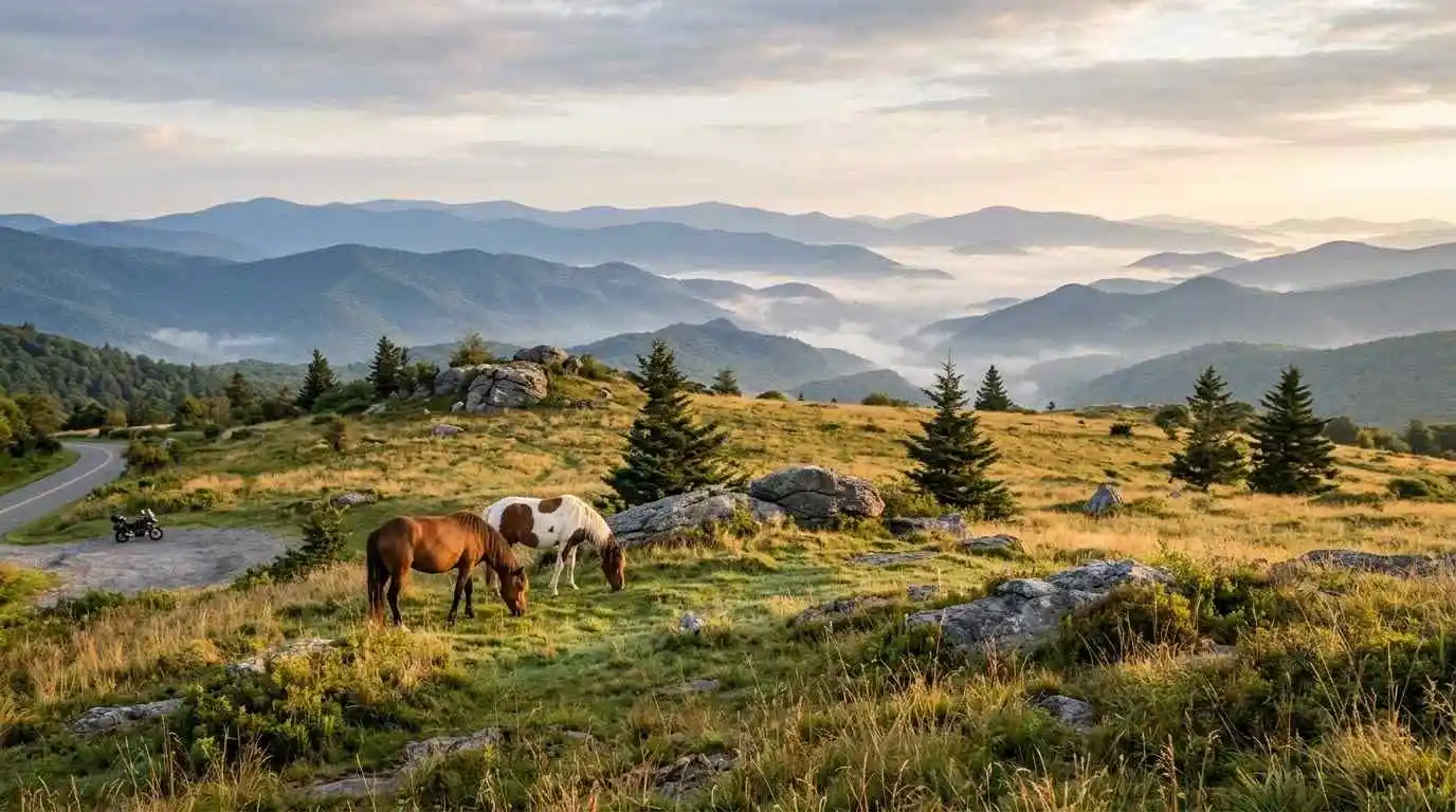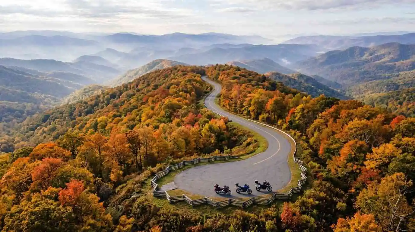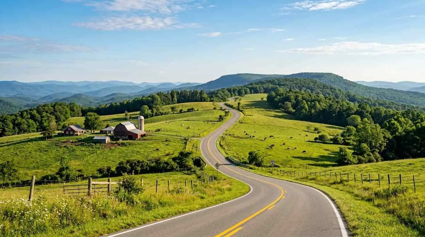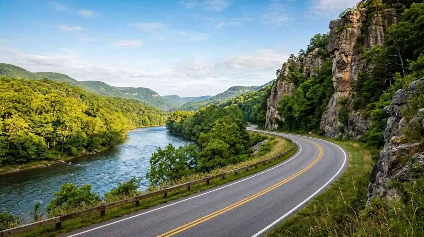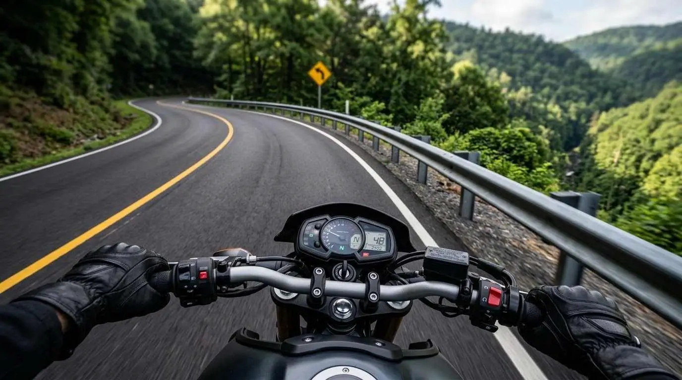
Back of the Dragon is a 32-mile section of Virginia Route 16 between Tazewell and Marion, and this Back of the Dragon motorcycle guide covers what Tazewell riders need to know before they head out. The road crosses three mountains, climbs to about 3,500 feet, and packs in roughly 438 curves, which makes it one of the most technical rides in the state. Tazewell makes a convenient starting point, with lodging, food, and fuel before you tackle the road.
Key Riding Highlights on the Back of the Dragon
1. Start in Tazewell and Join Route 16
From Tazewell, head southwest on US Business 19 for about two miles, then turn onto VA Route 16 to begin the Dragon. Before you commit, fill your tank and use the town’s services, because options along the road itself are limited. Tazewell also has a visitor welcome center for the route.
2. Cross Three Mountain Ranges
Route 16 crosses Big Walker, Brushy, and Clinch Mountains on its way to Marion. Expect constant elevation changes, tight bends, and a sequence of corners that rarely lets you relax. Some curves are posted as low as 15 miles per hour, so treat the speed advisories as limits, not suggestions.
3. Ride Through Rich Valley
The Rich Valley section is known for its stacked curves, including bends that riders have nicknamed for their shape. Keep your lines smooth and your eyes up through the corners, and use the pull-offs when you want to take in the views.
4. Finish at Hungry Mother State Park and Marion
The route ends near Hungry Mother State Park and the town of Marion, which both offer places to rest, eat, and refuel. If you want a break from the corners, the park is a relaxed place to stop before you head back.
5. Add a Side Trip to Burkes Garden
Burkes Garden lies close to Tazewell and makes a quieter extension of your day. Read the Burkes Garden motorcycle ride guide if you want a gentler contrast to the Dragon.
Safety Tips for Route 16
Ride Within Your Limits
The Dragon rewards smooth, patient riding. Keep your speed under control, brake before the corner rather than in it, and never cross the center line on blind curves.
Expect Traffic in Both Directions
Other riders, cars, and local traffic share the road, and some will be moving faster or slower than you. Stay in your lane, avoid passing unless you have a clear view, and use pull-offs to let faster riders go.
Watch for Gravel, Wildlife, and Weather
Mountain roads collect gravel and debris, and deer cross at dawn and dusk. Cool, damp air and fog at elevation can make the pavement slick, so slow down when visibility drops.
Plan Fuel and Food at Both Ends
Gas stations, restaurants, and lodging are concentrated in Tazewell and Marion, with very little between them. Fill up before you start and carry water.
Prepare Before You Ride
A technical road like this one is hard on tires and brakes, so review motorcycle tire pressure and tread maintenance for mountain curves and slick asphalt before you leave. Check your brake feel, tire pressures, and chain tension before the first corner.
Conclusion: A Technical Ride That Rewards Patience
The Back of the Dragon is a demanding but rewarding stretch of Route 16, best enjoyed at a pace you can control. Start fully fueled in Tazewell, respect the speed advisories, and use the pull-offs to enjoy the scenery.
Legal Disclaimer: This guide is provided for educational and route-planning purposes only. Always observe posted speed limits and warning signs, check current road and weather conditions, and ride within your capabilities.
Official & Credible Sources
- Back of the Dragon, Official Route Information: https://www.backofthedragon.com
- Virginia Department of Transportation (VDOT), Road Conditions & Travel Updates: https://www.virginiadot.org
- Southwest Virginia Cultural Heritage Commission (Round the Mountain), Regional Visitor Information: https://visitswva.org
Enjoyed This Guide? Explore Related Virginia Touring Resources
- Technical Mountain Riding: Study the Snake Route 421 motorcycle guide.
- Ridge Road Twists: Read the Clinch Mountain and Route 80 motorcycle guide.
- Coalfield Overlooks: Explore the Breaks, Roaring Plains and Route 83 motorcycle guide.
- High Country Climb: Try the Whitetop Mountain and Route 603 motorcycle guide.
- Southwest Corridor: Compare the Route 58 Southwest Virginia motorcycle ride guide.