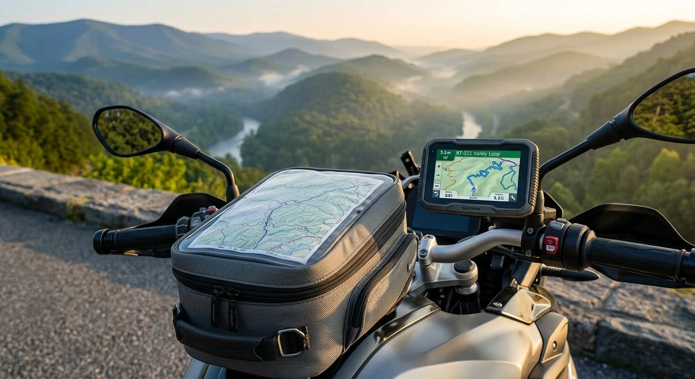
Riding through the deep mountain passes of the Blue Ridge or navigating remote forest roads along US Route 220 requires dependable navigation tools. Comparing GPS vs paper maps for motorcycle touring digital reliability vs backcountry backup is a critical evaluation for long-distance riders. While modern motorcycle-specific GPS units and smartphone apps deliver turn-by-turn Bluetooth audio prompts, real-time traffic updates, and route tracking, relying solely on electronics can backfire in deep mountain canyons. Dead battery connections, extreme heat thermal shutdowns, and lost satellite signals can leave you stranded. Combining digital precision with a physical paper map backup guarantees seamless backcountry navigation across Virginia.
Navigation Systems Comparison Matrix
Evaluate how dedicated motorcycle GPS units, smartphone navigation apps, and paper maps perform in the field:
| Navigation Method | Primary Advantage | Vulnerability / Failure Point | Best Backcountry Use Case |
|---|---|---|---|
| Dedicated Motorcycle GPS | Waterproof, glove-friendly screen, offline routing | Power supply failure / expensive hardware | Daily turn-by-turn guidance in all weather |
| Smartphone Nav Apps | Live traffic updates, satellite view imagery | Overheating in sun / dead cellular signal | Urban transfers & quick waypoint searching |
| Waterproof Paper Maps | Zero battery required, full geographic overview | Requires stopping to read; no live updates | Emergency route backup & route planning |
Essential Navigation Strategies for Backcountry Touring
Applying a dual-method navigation strategy prevents wrong turns and lost time in remote mountain gaps:
- 1. Download Offline Digital Maps in Advance:
Cellular coverage drops quickly in Appalachian mountain valleys. Download offline map zones on your GPS device or smartphone apps (like OnX Offroad, Scenic, or Google Maps) before leaving your hotel or campsite. - 2. Mount and Power Electronic GPS Devices Safely:
Secure your GPS or smartphone using a vibration-damped mount to protect camera sensors from engine buzz. Hardwire power cables directly to a switched battery terminal to maintain continuous charging without draining your main battery when parked. - 3. Keep Waterproof Paper Maps in Your Tank Bag Clear Pocket:
Pack a laminated, waterproof topographic road map in your tank bag’s top clear window. A physical map gives an immediate overview of alternative routes, nearby rivers, and mountain elevation contours without relying on battery life. - 4. Mark Primary Waypoints and Fuel Stops beforehand:
Highlight critical gas stations and intersection numbers on your paper map before departing. Remote mountain stretches can span over 80 miles between open fuel stations, making pre-planned stops essential.
Before setting out on long backcountry tours along mountain highways, review scenic route options in Route 220 motorcycle guide: Virginia’s scenic mountain ride. Ensure your electronic devices do not drain your starting power using motorcycle battery care and troubleshooting in cold and hot weather touring. Additionally, keep your motorcycle secure during remote map breaks with motorcycle anti-theft guide: best security practices for Virginia riders.
Conclusion: Digital Speed Meets Paper Reliability
Evaluating GPS vs paper maps for motorcycle touring digital reliability vs backcountry backup highlights the need for a balanced setup. Use modern GPS devices for real-time guidance and turn-by-turn convenience, but always stow a laminated paper map in your tank bag. With both digital tech and analog backup, you can explore Virginia’s backcountry backroads with complete peace of mind.
Legal Disclaimer: This guide is provided for educational and navigation planning purposes only. Always pull over safely off the roadway before inspecting maps or adjusting digital GPS devices.
Official & Credible Sources
- American Motorcyclist Association (AMA) — Touring & Backcountry Navigation Tips: https://americanmotorcyclist.com
- National Park Service (NPS) — Shenandoah & Blue Ridge Parkway Maps: https://www.nps.gov
- Virginia Department of Transportation (VDOT) — Official State Transportation Maps: https://www.virginiadot.org
Enjoyed This Guide? Explore Related Virginia Touring Resources:
- Route Guides: Plan scenic navigation routes using route 220 motorcycle guide virginias scenic mountain ride.
- Electrical Care: Power your GPS devices reliably with motorcycle battery care and troubleshooting in cold and hot weather touring.
- Security Practices: Protect your machine during navigation stops with motorcycle anti theft guide best security practices for virginia riders.
- Luggage Packing: Stow paper maps and tech accessories in motorcycle luggage packing and weight distribution for mountain stability.
- Wildlife Safety: Stay alert for hazards along remote routes using deer collision avoidance guide for virginia motorcyclists.
Leave a Reply