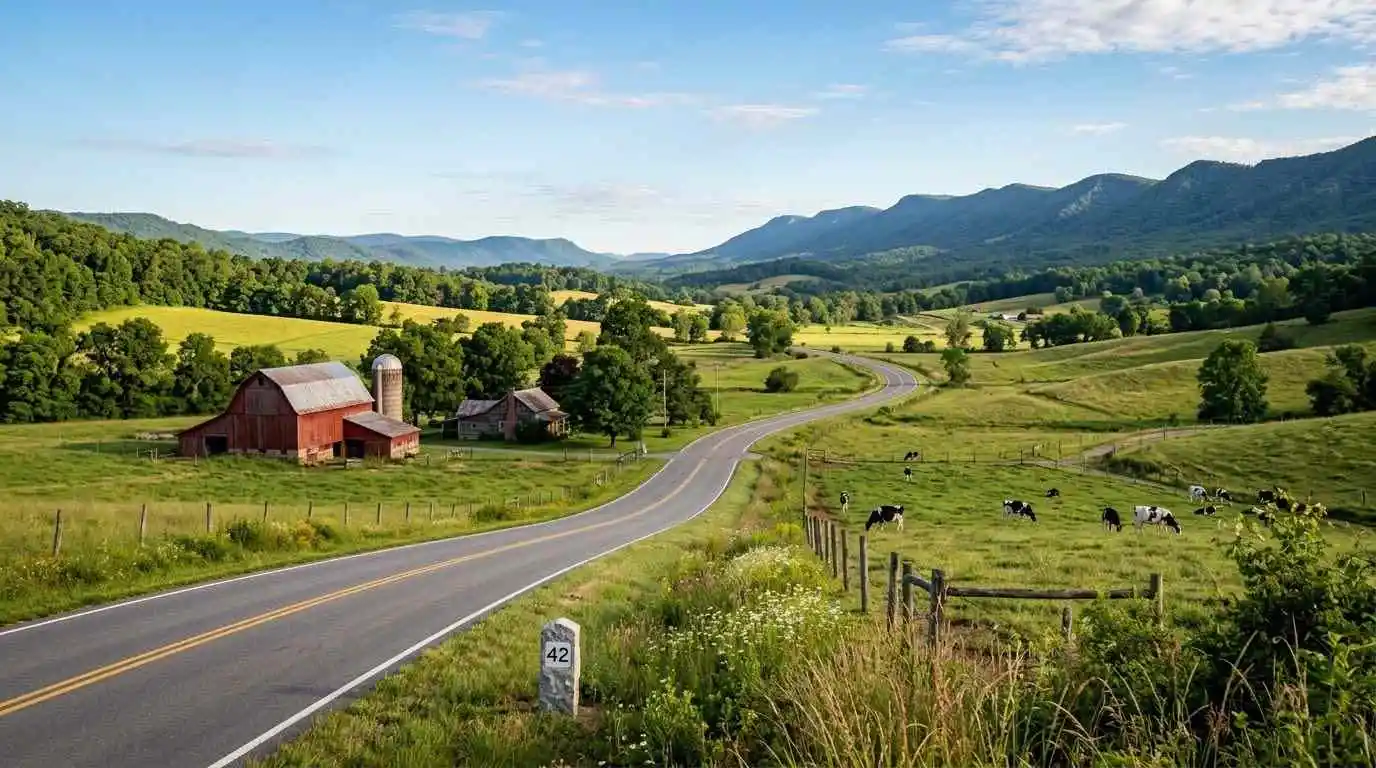
A complete pretrip motorcycle maintenance guide starts with one habit: inspect the bike before every ride, not only before long trips. Virginia riding mixes fast valley highways, mountain climbs, and long descents, so small mechanical problems grow quickly. This guide follows the T-CLOCS method from the Motorcycle Safety Foundation (MSF), a simple checklist that covers tires and wheels, controls, lights and electrics, oil and fluids, chassis, and stands.
The T-CLOCS Pretrip Checklist
T: Tires and Wheels
Check air pressure when the tires are cold, using the number in your owner’s manual or on the bike’s information label. Look at the tread and sidewalls for cracks, cuts, bulges, or embedded objects, and inspect the wheels for dents, loose spokes, or damage. For mountain riding, read motorcycle tire pressure and tread maintenance for mountain curves.
C: Controls
Check the clutch and brake levers, throttle, switches, cables, and hoses. The throttle should snap closed on its own, and levers should move smoothly without sticking. Look for frayed cables, cracked hoses, and brake lines that rub against other parts.
L: Lights and Electrics
Confirm that the headlight (low and high beam), taillight, brake light (front and rear lever), turn signals, and horn all work. Make sure the battery terminals are tight and clean, and that lenses are not cracked or loose.
O: Oil and Other Fluids
Check engine oil, coolant, brake fluid, clutch fluid if your bike uses it, and fuel. Look under the bike for fresh leaks before you roll it out. If a service is due soon, do it before a long trip instead of during it.
C: Chassis
Inspect the suspension for oil on the fork tubes and for smooth movement. Check the drive system as well: chain tension and lubrication, belt condition, or the driveshaft seals, depending on your bike. Look for loose bolts and nuts.
S: Stands
Make sure the side stand and center stand (if fitted) move freely and spring back into position. A stand that falls down while you lean into a turn can be dangerous.
Extra Checks for Virginia Mountain Rides
Brakes Before the Descent
Mountain roads such as Route 211 at Thornton Gap and US Route 33 at Swift Run Gap include long downgrades. Check brake pad thickness and brake feel before you leave, and use engine braking so your brakes do not overheat.
Fuel and Weather Planning
Plan fuel stops before you enter park roads such as Skyline Drive and the Blue Ridge Parkway, where services can be far apart. Mountain temperatures can be much colder than the valley, so pack layers and rain protection.
Gear Check
Inspect your helmet, gloves, jacket, pants, and boots before every ride. Check the helmet for cracks or loose padding and the jacket armor for correct placement. Loose or damaged gear will not protect you when you need it.
Build a Simple Routine
Do the checklist in the same order every time. A good routine takes only a few minutes, and it becomes automatic. Keep a small tool kit, a tire pressure gauge, and a basic first aid kit on the bike. A planned route such as the Luray and Page County motorcycle ride guide is much more enjoyable when you know your bike is ready.
Conclusion: A Few Minutes That Prevent Roadside Problems
Pretrip inspection is the cheapest safety upgrade a rider can make. Use T-CLOCS before every ride, follow your owner’s manual for exact specifications, and fix small issues before they turn into breakdowns or crashes. A prepared motorcycle lets you focus on the road, the scenery, and the ride.
Legal Disclaimer: This guide is provided for educational purposes only and does not replace your owner’s manual or a qualified mechanic. If you are unsure about the condition of your motorcycle, have it inspected by a professional before riding.
Official & Credible Sources
- Motorcycle Safety Foundation (MSF), Rider Training & Safety Resources: https://www.msf-usa.org
- Virginia Department of Motor Vehicles (DMV), Motorcycle Information: https://www.dmv.virginia.gov
- National Highway Traffic Safety Administration (NHTSA), Motorcycle Safety: https://www.nhtsa.gov/road-safety/motorcycle-safety
Enjoyed This Guide? Explore Related Virginia Touring Resources
- Tire Care: Read motorcycle tire pressure and tread maintenance for mountain curves.
- Mountain Pass Climb: Study the Route 211 Thornton Gap motorcycle guide.
- Park Ridge Ride: Plan the Skyline Drive central section motorcycle guide.
- Valley Loop: Ride the Luray and Page County motorcycle ride guide.
- Southern Gap Crossing: Try the US Route 33 Swift Run Gap motorcycle guide.